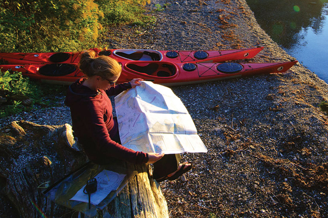
Maps and charts are magical pieces of paper. Layered with a wealth of information, they can tell us everything from what kind of scenery to expect to where to camp and when to paddle. They can be a source of inspiration, or show you the way home when you are lost. Maps are truly the backbone of any trip, but rarely do we give much thought to how they were created, or by whom.
You are here: The art & science of mapmaking
Maps have been around since at least 2,400 B.C., when they were used in Mesopotamia to show property boundaries for taxation purposes. These maps were largely inaccurate, however, as their creators struggled to draw a bird’s-eye view without leaving the ground.
It wasn’t until 1539 when Dutch mathematician Reiner Gemma Frisius developed a surveying method of dividing an area into triangles—triangulation, as it’s known as today—that cartographers could begin to map large areas with much greater accuracy. It was another Dutchman who first employed concentric lines, or contours, to show areas of equal water depth in 1727. Still, topographic maps using contour lines to represent land elevation didn’t catch on for another 150 years.
In North America, most early maps were developed by laborious land surveys. Teams of geologists and surveyors scrambled over the land, documenting, measuring and sketching. It was excruciatingly time consuming, often taking many years just to collect the initial information.
In the 1930s, the U.S. Geological Survey (USGS) started using aerial photography, which significantly increased the accuracy and reduced the development time for new maps. For the first time, cartographers could truly get a birds-eye view of the landscape they were trying to draw.
Modern advances in mapping
Today, the first step in topographic mapmaking is still the collection of aerial photographs by either airplane or low-orbit satellites. The process requires meticulous planning. To get a stereoscopic or 3D image of land elevation, the land is photographed from two different, overlapping angles. The images are then scanned into a computer to extract the topography and convert it into contour lines. The development process for nautical charts is quite similar, but rather than using aerial photography, the sea floor is mapped by ships equipped with specially designed SONAR.
Field survey staff check accuracy by measuring the exact location of various control points in the area of the new map. There are over 69,000 topographic maps covering North America that must be accurate to within 40 feet. With over 1,000 charts covering over four million square miles, the Marine Chart Division of the National Oceanic and Atmospheric Administration maintains accuracy to within 33 feet.
“Technology has helped speed up the development process of new maps,” says Jean Pinard, a Geomatics Technician at Natural Resources Canada, “but it is still a very time- and labor-intensive process and it’s not uncommon for it to take up to five years to go from initial research to final product.”
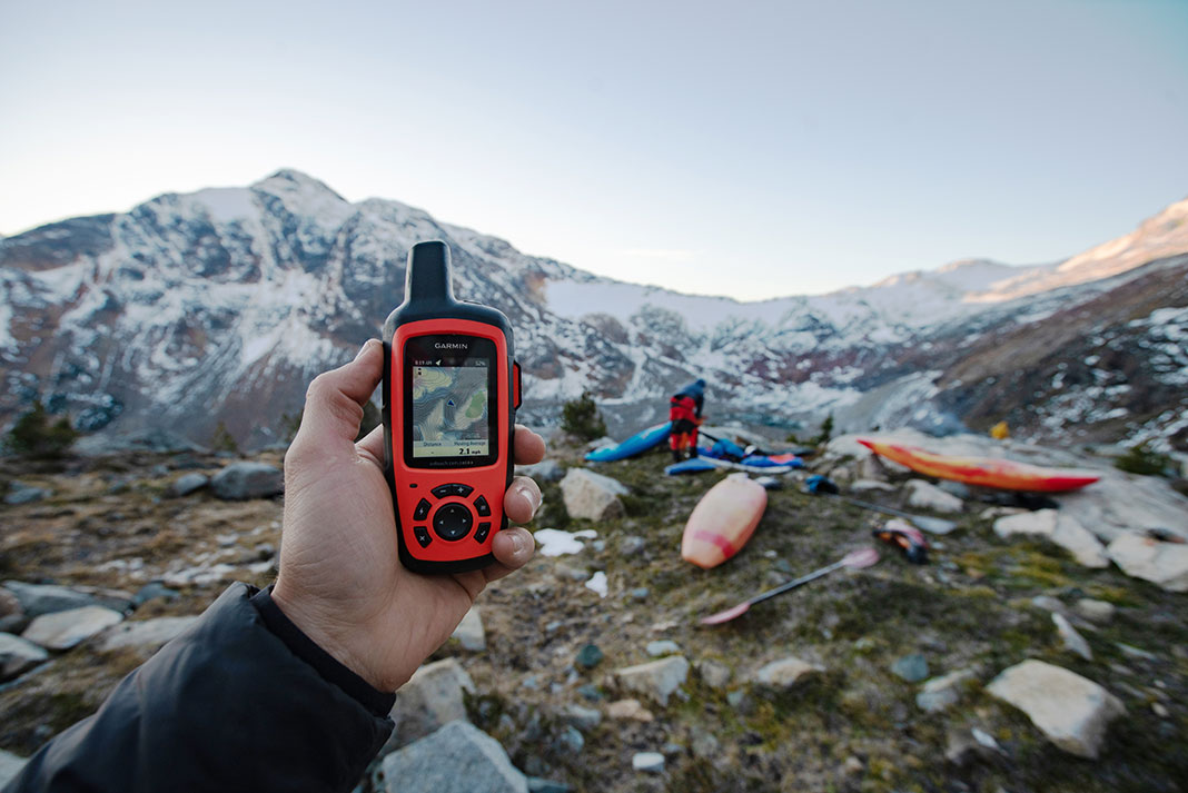
It used to be, the more popular the map, the more frequently it was updated and reprinted. As recently as five years ago, paddlers planning a remote trip in some far-flung northern wilds had to content themselves with maps that were last updated in the 1950s. Now, however, all Natural Resources Canada and USGS maps are kept as up-to-date as possible by using a print-on-demand service, enabling quick adjustments and annual updates without waiting for existing print stock to sell out.
David Johnston is the founder of www.PaddlingHQ.com. He dreams in rasters and vectors.
 This article was first published in the Summer/Fall 2013 issue of Adventure Kayak Magazine.
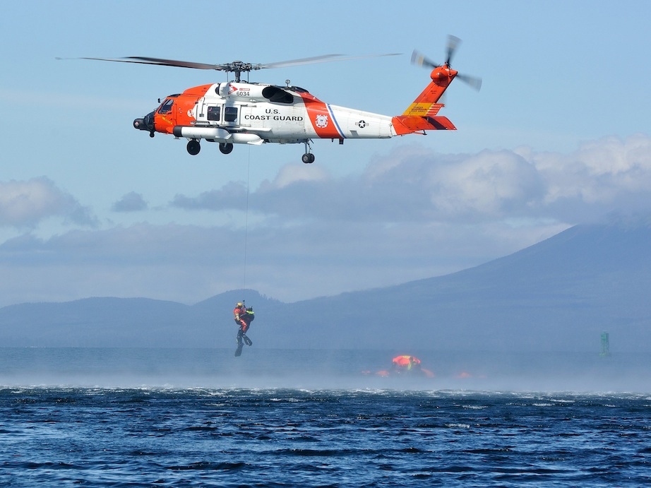
 “I am told there are people who do not care for maps, and I find it hard to believe.” —Robert Louis Stevenson, Treasure Island | Feature photo: Fredrik Marmsater


