Dozens of popular paddling destinations along National Wildlife Refuge Water Trails are now even more accessible online having been recently added to the National Rivers Project (NRP), an interactive map and online database which helps to identify, explore and plan river trips. The NRP now includes 18 National Wildlife Refuges and features 103 water trails and 50 access points managed by U.S. Fish and Wildlife Service (USFWS).
NRP is a project of the River Management Society (RMS), a national nonprofit organization whose mission is to support professionals who study, protect and manage North America’s rivers. RMS partnered with USFWS National Wilderness Coordinator Nancy Roeper and USFWS Chief Cartographer Ron Salz to inventory and add to the NRP various Wildlife Refuges and associated waterbodies, which are listed as water trails and popular paddling destinations.
Roeper hopes that including these rivers, lakes, bays and coastlines in the NRP will allow for equitable access to information for paddlers across a variety of geographies and skill levels.
“This project enables more people to appreciate their National Wildlife Refuges and enjoy wildlife observation and photography, fishing or just relaxing, from a different point of view,” said Roeper. “Thanks to our partner, RMS, information about water trails and a number of popular paddling destinations in the National Wildlife Refuge System are now part of the NRP. Paddling is frequently the best way to see wildlife, and after all, the mission of the Refuge System focuses on conserving the nation’s fish, wildlife and plant resources and their habitats.”
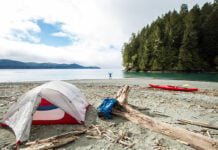
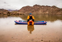
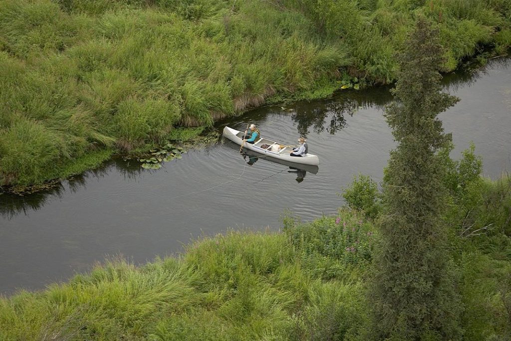
Exploring a refuge by canoe or kayak combines adventure with physical activity and an unparalleled close-up view of nature. From freshwater tidal marshes, to scenic estuarine habitat, and to cypress swamps and floating peat mats, paddling trails in the Refuge System can provide glimpses of great blue heron rookeries, manatees, roseate spoonbills, muskrats, egrets, sandhill cranes, alligators, warblers, bald eagles, kingfishers, river otters, pond turtles, hawks, carnivorous plants and more.
The USFWS segments added correlate with the information on the USFWS water trails website. The data were created by studying static and interactive maps on refuge websites, gleaning public GIS data on refuge amenities, researching waterbodies and access points through other websites and publications, and seeking feedback on data from refuge managers.
“We are excited and grateful to have developed this partnership with USFWS, creating and curating spatial data and descriptive information for several water trails on National Wildlife Refuges across the United States,” says James Major, NRP Coordinator. “We thank Jack Henderson, who worked on this project as past GIS and Project Coordinator with RMS. Many of refuges offer access to educational and inspiring waterways and we are proud to have developed this new way to help the public discover them, and to help refuge managers share their location in context of other regional river resources.”
ABOUT THE NATIONAL RIVERS PROJECT
The National River Recreation Database (NRRD) is a geospatial portfolio of authoritative information for Wild and Scenic Rivers, water trails, whitewater rivers, access points and campgrounds. The NRRD supports the National Rivers Project website, which provides river recreation and management information for paddlers and resource managers. The NRP has been developed with financial support from federal river-administering agencies (National Park Service, U.S. Forest Service, Bureau of Land Management and U.S. Fish and Wildlife Service) and the National Park Foundation. In addition, many state programs, non-profit organizations and individuals have contributed in-kind by contributing and maintaining accurate river data. Explore rivers at www.nationalriversproject.com. Additions and revisions to the database are always welcome! Learn more about RMS and join today by visiting www.river-management.org.
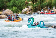
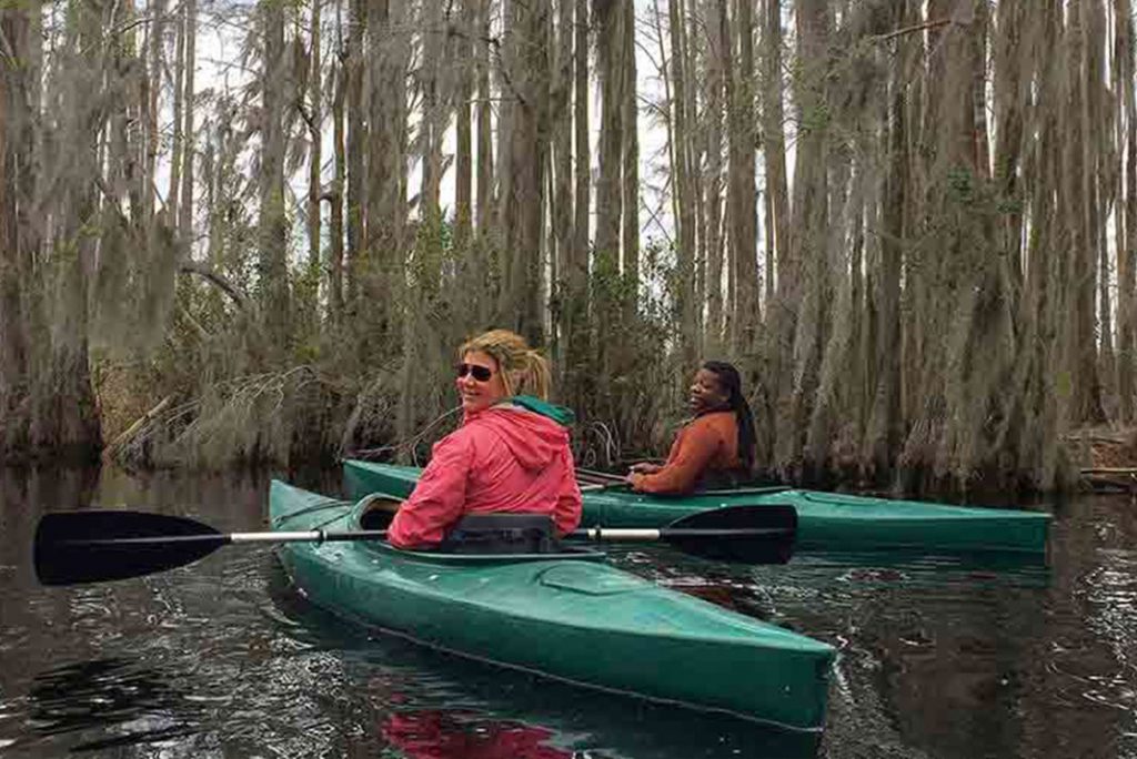
Photo by Marcia Pradines, USFWS: Okefenokee National Wildlife Refuge in Georgia is one of the many rivers now accessible on nationalriversproject.com. Here, visitors may spot black bear, cranes, alligators and tortoises!


