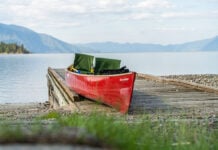
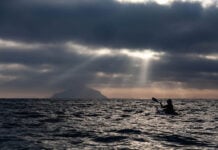
My fear of this bay is leaving me. I’m standing in my shorts, waist-deep in the Arctic Ocean. Silt-laden, caramel water stretches out endlessly in all directions except south, where the lowlands appear as a sliver on the horizon. The late August sun is high and hot, backed by a bluebird sky. Our canoe bobs beside me as I fix the camera to the bow in order to get some tandem paddling shots of my partner Alex and me. He is relieving himself, whistling happily as he takes in the vastness of it all.
Unrelated to Alex’s urinary tract, the water of James Bay is surprisingly warm and sweet. Dozens of giant rivers in Ontario and Quebec pour countless tonnes of freshwater into it every day, raising the temperature and diluting it to the point that its salinity is undetectable. At this moment, lingering in its embrace, James Bay seems more lake than ocean—and is far friendlier than I could ever have imagined.
It’s our first day paddling the 70-km stretch from the mouth of the Harricana River to Moosonee, Ontario. We began our journey 23 days and 1,000 km ago on Algonquin Park’s Opeongo Lake, but everything leading up to James Bay was merely a preamble. I’ve read accounts of wicked storms, brutal mosquitoes and being trapped out on the tidal flats. Camping is supposed to be marginal at best as the surrounding landscape is made up primarily of wetlands; great for birds and bugs but not so great for canoe trippers. Most groups that paddle the Harricana arrange a plane or motorboat shuttle back to Moosonee in order to avoid the crossing. To me, James Bay was like the schoolyard bully with a bad reputation who no one talked to but everyone feared.
Our magic carpet has been pulled out from underneath us to reveal a damp clay floor that is now our home for the night.
Tidal flats on James Bay sometimes extend 10 km from land. This makes it easy to hop out in the shallows to do your business, but it also means an outgoing tide is capable of leaving you stranded kilometers deep in the no-man’s land between water and shore. That is the only thing on our minds. We are ready to camp one night on the bay, but we know one thing above all else: we do not want to get stranded on the tidal flats.
Using our tide tables, we had planned to hit James Bay on the flood, paddle hard for 30 km to Little Netishi Point to camp on dry land, and then finish the trip off the next day.
Everything is going as planned after starting on time, but we soon find ourselves pulling up a river-like channel as the rising tide rushes in to shore.
The channel is a slog but it lets us avoid the long peninsula-like tidal flat that juts out to the north from the mouth. Once through the channel, we stay well offshore in order to paddle without striking bottom with every stroke.
The end of the day nears and our GPS has us homing in on Little Netishi Point. It’s around this time that we pause for Alex’s pit stop and for me to feel complacent. We are on schedule to make it in plenty of time but, inexplicably, we paddle past and keep going. The next point is just 5 km further, the water is calm, and we can make it easily—or so we think.
A couple of clicks beyond Little Netishi our paddles begin to repeatedly bump the ground. The tide is ebbing. We try to head to shore, but to no avail. When the tide goes out on James Bay, it goes like a drag racer. Within minutes we can no longer see water. We are stranded. Our magic carpet has been pulled out from underneath us to reveal a damp clay floor that is now our home for the night.
Suddenly confronted by another aspect of this bully, he again seems to be a pretty decent guy. The tidal flats are firm and level—exactly what you look for in a good campsite. We deal with the excessively damp surface by lining the bottom of our tent with a tarp. The unencumbered breeze keeps the notorious James Bay mosquitoes under control as well. They’re still present in impressive numbers, but are limited to tucking behind us in the wind-eddy created by our bodies. We merely have to step aside and they are blown into oblivion.
An additional bonus is that, since Nunavut lays claim to all of James Bay and its intertidal zone, we can add a territory to the two provinces we’ve already camped in during our journey.
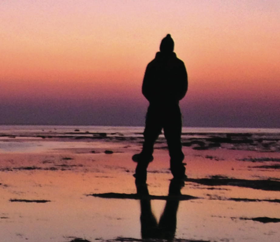
Before tucking in for the night, we consult our tables and set our alarms for 3 a.m. so we won’t be washed awake by the incoming tide. Stirring at this pre-dawn hour, we’re treated to the full cycle of sunrise over the unencumbered curve of the Earth. With us packed and ready to go, James Bay returns on cue and buoys us to paddle on.
Our final day is hard work. We battle steep chop, a headwind, and the current of the Moose River before making Moosonee by mid-afternoon. Landfall is euphoric. I’ve completed another journey and, more importantly, made friends with the schoolyard bully.
This article originally appeared in Canoeroots & Family Camping‘s Spring 2009 issue. Subscribe to Paddling Magazine’s print and digital editions here, or browse the archives here.
Frank Wolf is a Vancouver-based writer. He last wrote about paddling the boreal forest in the Summer 2008 issue of Canoeroots.


