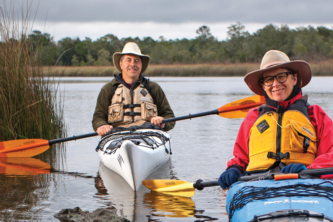
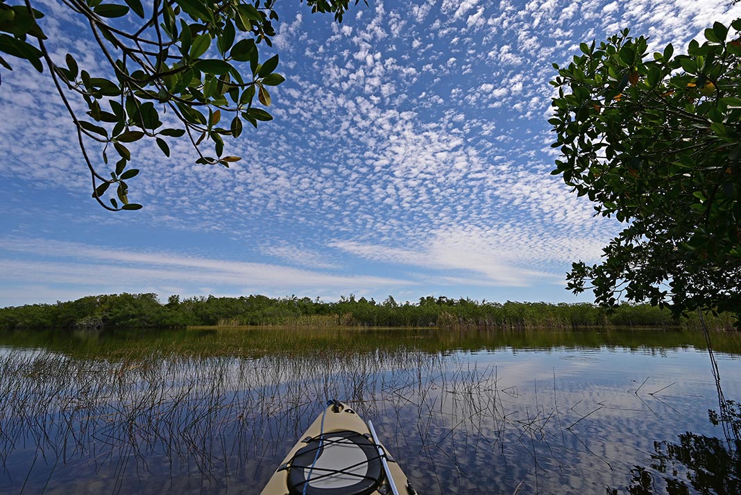
In just 25 years, the concept of designated recreational water trails has grown from pipedream to federally legislated priority. In 2012, the U.S. Department of the Interior established the National Water Trails System to launch a new national network of water trails, with the goals of increasing access to water-based outdoor recreation, encouraging community stewardship of local waterways and promoting tourism to fuel local economies. North of the border, the Trans Canada Trail initiative is looking to the country’s historic water routes to close gaps in a nation-spanning multi-use trail. But it is through the ceaseless dedication and hard work of paddling visionaries and volunteers, like those profiled on these pages, that most water trails are born. — Virginia Marshall
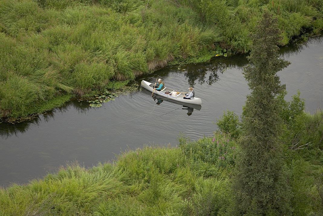
5 water trail visionaries map the future of kayaking
1 Morgan Scherer
Seattle, Washington
“We’re a water-faring people. This work is about survival of the spirit.”
If you’re an Olympic competitor, you have to thrive on challenges. Still, for Morgan Scherer, a sprint kayaker in the 1992 Barcelona Games and the recently appointed Executive Director of the Washington Water Trails Association, her new challenge is very different: she’s guiding a resurrection.
Washington has all the ingredients for thriving water trails: a large population near Puget Sound, a rich boating heritage, hundreds of miles of protected water and islands, and a world-class destination in the San Juan Islands.
But a powerful double-whammy hit in the late 2000s. The Great Recession sapped individual incomes, and membership dues—the largest source of WWTA funding—dropped by half. Staff dwindled from five in 2006 to three part-timers today. At the same time, budget cuts in parks districts forced the closure of many overnight sites.
“With the cuts, fewer people know about the trail,” says Scherer. “You can’t access something you don’t know about. So fewer people use the trail, so you don’t get agency support. It’s a downward spiral we’re trying to reverse.”
Salvation lies in broadening community support. A passionate kayaker who built her own Aleutian skin-on-frame, Scherer has also worked for human-powered transportation on land, as a bicycle advocate. She knows buoying membership among fellow paddlers is just part of the strategy. In Washington, where most of the shoreline is privately owned, water trail sites are also critical to non-boaters. “Anyone who wants to walk on the beach benefits from what we do,” Scherer says.
WWTA must also re-imagine membership. “Joining something means something different in the age of Facebook and Twitter than it did 20 years ago,” she notes.
Between rebuilding the organization’s base and putting out the many daily fires in a small organization, Scherer is optimistic. Membership is on the rise for the first time since 2007. New sites are coming online. In summer, two staffers ply the Sound in kayaks, spreading word about the Cascadia Marine Trail. The tide is beginning to turn. — Neil Schulman
Plan your trip on the Cascadia Marine Trail
Washington Water Trails manages six trails. The flagship, the Cascadia Marine Trail, consists of 58 campsites and 120 day-use sites from Olympia to the San Juan Islands and the Canadian border.
Best season: Late spring through fall.
Skills: Ability to navigate the Sound’s complex currents and shipping traffic.
More info: wwta.org
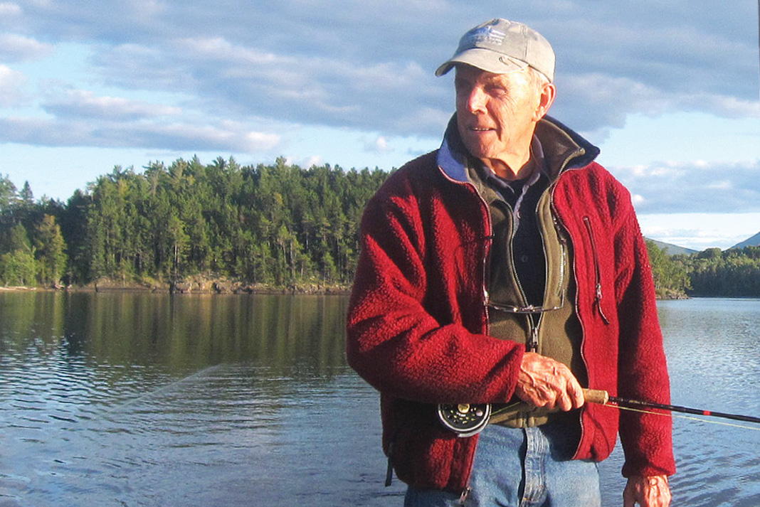
2 Dave Getchell, Sr.
Appleton, Maine
“Most people said we were crazy.”
In the 1980s, magazine editor and inveterate coastal explorer Dave Getchell, Sr. was one of the founding fathers of the recreational water trails concept. Working with a handful of other Maine paddlers, powerboaters and sailors, Getchell pioneered a network of island campsites, creating the Maine Island Trail in 1987.
“We worked on handshake agreements with landowners and said, ‘any time you want to cancel, give us two weeks’ notice and we’ll shut it down.’ Soon we had other island owners asking if their islands could be included,” Getchell, now 85, recalls.
Personal touch remains the secret to the trail’s success. “Twenty-five years later, we still have conversations with landowners,” says Doug Welch, executive director of the Maine Island Trail Association. “Every year we ask if they want to stay on the trail. It keeps us on our toes. We have to earn the trust of each landowner.” The approach is critical since 95 percent of Maine’s coast is privately owned.
“It reflects Maine’s tradition of permissive use and good stewardship,” says Welch. “We put logbooks on each island, and we send them to the island owners at season’s end. Those logbooks tell stories about honeymoons, taking a child camping for the first time, or scattering the ashes of a loved one. The trail is much more than a map of sites.”
Back in the 1980s, the idea that the users could manage the trail was also radical. “It’s not a national park with rangers wearing badges telling you what you can and can’t do,” Welch says. A few staff manage volunteers, who do the lion’s share of maintenance. “We have no authority other than our good example,” Getchell adds.
Handshake by handshake, the trail grows. Since its inception, the trail has expanded from 40 sites to 207, tracing Maine’s intricate coastline from Kittery to Machias. Maine State Parks wants to extend the management plan another 15 years. New sites are coming in Cobscook Bay near the Bay of Fundy. That “good example” has made the Maine Island Trail both an inspiration and a model for recreational water trails all across the continent.
“I’m thrilled it worked out so well,” muses Getchell. “It was all an experiment.” — Neil Schulman
Plan your trip on the Maine Island Trail
The Trail is officially 375 miles, but don’t take that too seriously, says Welch. “The Maine coast should be explored slowly and not in a straight line.”
Best season: Summer.
Skills: Maine is known for cold water, fickle weather, currents and fog. Most routes are not suitable for novices.
More info: mita.org
3 Liz Sparks & Doug Alderson
Tallahassee, Florida
“When small businesses realize the economic benefits of sustainable tourism, they become champions of conserving the very resources that attract paddlers and other outdoor enthusiasts.”
It would’ve been easy to side with the critics when the state of Florida legislated the development of a 1,500-mile water trail around its entire perimeter in 2004, but Liz Sparks, 56, is a firm believer in the power of the paddle.
Environmental lobbyist David Gluckman first proposed a Florida water trail to mirror the Maine Island Trail in the 1980s. But it wasn’t until 2003 that Sparks, then a Florida Fish and Wildlife planner, got the ball rolling by developing the Big Bend Saltwater Paddling Trail, a 105-mile corridor of access points and campsites along the Gulf Coast near Tallahassee. A transplanted Midwesterner, the affable Sparks won over private landowners with her so-called “southern mama dance”—borrowing local turns of phrase and charming residents with her genuine interest in building the local tourism economy.
Doug Alderson, the Tallahassee-based paddler who was tasked with developing the Florida Circumnavigational Saltwater Trail, credits the Big Bend for convincing legislators that a similar planning and mapping initiative comprising the entire state was feasible. Even so, “some people thought the trail could never be completed,” he says. “It was too ambitious, there was too much development, and there weren’t enough lands for camping.”
Fast-forward to today: Florida’s recreational water trails network is second to none.
The 26 sections of the Circumnavigational Trail—which took Alderson more than three years to complete—are joined by 47 other designated paddling trails on rivers and waterways throughout the state. Sparks was brought on last year as Alderson’s successor, to “close the gaps” on legs with limited camping and to develop alternate, safer routes for the Circumnavigational Trail’s more exposed sections.
Given the intensity of urban development in Florida, Sparks says the paddling trails initiative’s founding goals remain critical for the benefit of current and future generations. The routes reveal the hidden wilderness of Florida’s coast and rivers. In addition to promoting positive economic impacts and raising cultural and environmental awareness, she says, “We are hopefully igniting a passion for engaging with nature.” — Conor Mihell
Plan your trip on the Big Bend Saltwater Paddling Trail
Florida’s Office of Greenways & Trails oversees 48 paddling trails. Sparks’ favorite—the Big Bend—is a 10-day route capturing the best of Old Florida’s unique blend of wilderness and quaint coastal villages.
Best season: November through April, when it’s temperate and relatively insect-free.
Highlights: Expect to see iconic wildlife, including alligators, sharks and an impressive variety of birds.
More info: floridadep.gov/parks/ogt/content/florida-circumnavigational-saltwater-paddling-trail
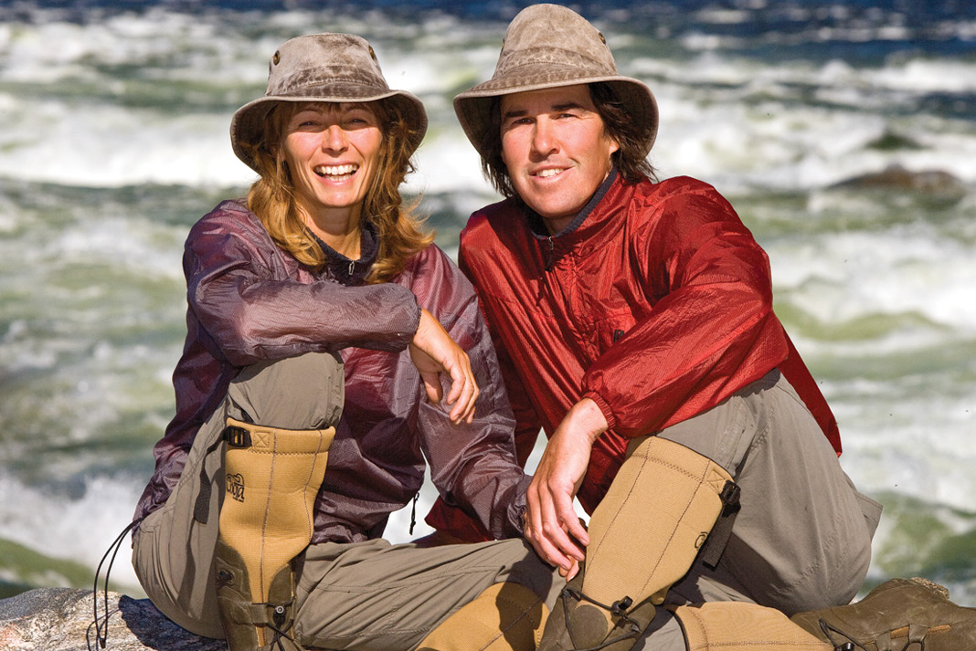
4 Joanie & Gary McGuffin
Goulais River, Ontario
In July 1983, a young couple from southern Ontario paddled into one of the biggest challenges of their two-year honeymoon canoe journey across Canada. In the two weeks it took Gary and Joanie McGuffin to trace Lake Superior’s 800-kilometer Canadian shore, the newlyweds were smitten by fiery sunsets, enchanting islands and open horizons.
Thirty years later, Lake Superior remains the McGuffins’ focus. Photojournalists and conservationists, they have paddled its entire perimeter and reside near its shores. In 2013, their Lake Superior Watershed Conservancy was chosen to develop a water leg of the Trans Canada Trail from Sault Ste. Marie to Thunder Bay. This coast marks one of the final unfinished segments of a 24,000-kilometer cross-country route for self-propelled travelers to be completed in time for the nation’s 150th anniversary in 2017.
The McGuffins planned a coastal route comprising 44 access points. Joanie, 54, says the Trans Canada Trail designation holds huge potential to “get people excited and fuel their interest to come up here.” She envisions a network of communities reaping economic benefits by providing services and amenities to paddlers. “As an access point, a town becomes tied into the whole Trans Canada Trail system,” says McGuffin.
Then there’s the potential of making a connection with the four active water trails on the U.S. side of the lake. Currently, water trails along the Minnesota coast, around Wisconsin’s Apostle Islands, and along Michigan’s Keweenaw Peninsula and Pictured Rocks National Lakeshore operate at regional levels through the work of dedicated volunteers and outfitters. But there’s always been a dream of a “total Lake Superior Water Trail” with consistent signage and services, says McGuffin. “Moving forward, we have fantastic partners and they’re all on board.”
An international trail could have more than economic benefits, says Michigan’s Sam Crowley, a key founder of the state’s Hiawatha Water Trail. Connecting far-flung communities around the lake also provides conservation empowerment, allowing for a united voice against industries with adverse environmental impacts. “It’s no longer just one little town, but a whole front of communities with shared economic interests linked to a healthy coast.”
With local downturns in resource sectors, “there’s a movement to look at new opportunities,” adds McGuffin. “But this window will close when resource extraction industries return. We feel like the time is absolutely now.” — Conor Mihell
Plan your trip on the Trans Canada Trail
The beginner-friendly, half-day trip between Nipigon and Red Rock traces the biodiverse shoreline at the mouth of the Nipigon River. Make it a full day by hiking the shuttle on an eight-kilometer trail between the two towns.
Best season: Spring, summer and fall.
Highlights: An impressive gallery of Ojibwa pictographs at the Nipigon River mouth.
More info: tctrail.ca/explore-the-map/
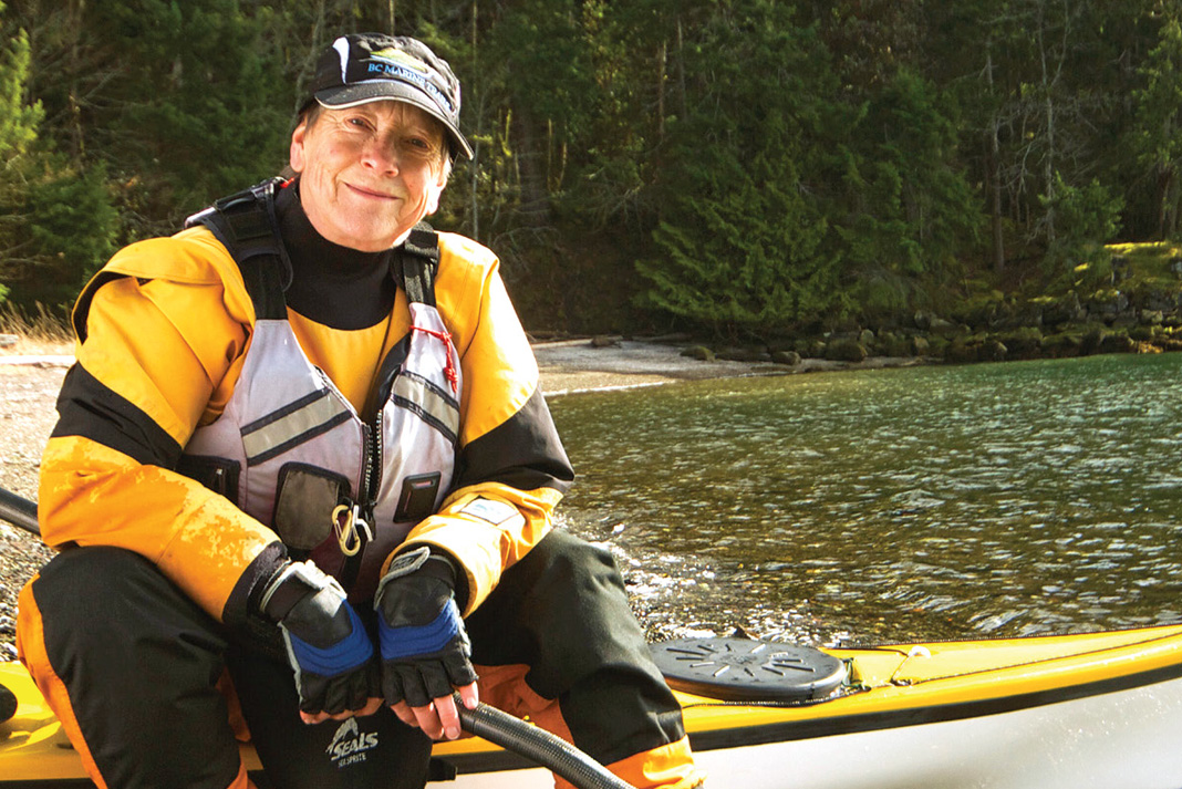
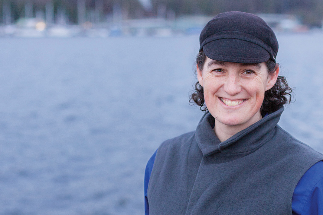
5 Stephanie Meinke
Nanaimo, British Columbia
Each time Stephanie Meinke takes to the water, she imagines she’s following in the wake of dugout canoes. For Meinke, a part-time teacher and president of the B.C. Marine Trails Network, an ancient, 27,000-kilometer-long marine highway flows “in and around every inlet, island and islet along the coast.” It’s her goal to preserve it.
The movement to develop a water trail on the B.C. coast was well established when Meinke first heard about it in 2006. Back in 1993, Peter McGee, an avid sea kayaker who was looking for a topic for his Master’s thesis, spearheaded an initiative to secure access points and campsites for paddlers.
But paddlers were too complacent, says Meinke. “We had plenty of [public] Crown land and parks to land and camp on. We could stop wherever we needed to.” This sense of idyll, combined with a stagnant economy and government cutbacks, caused McGee’s initiative to lose steam. However, the signing of the 2007 Maa-nulth Treaty—which affirmed many First Nations land claims on the west coast of Vancouver Island—got “some kayakers thinking that perhaps the status quo wouldn’t last forever.”
“Good landing beaches are a limited resource,” says Meinke. “What about the future? We wondered what happened to the original marine trail initiative and decided to find out.”
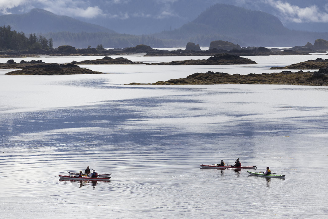
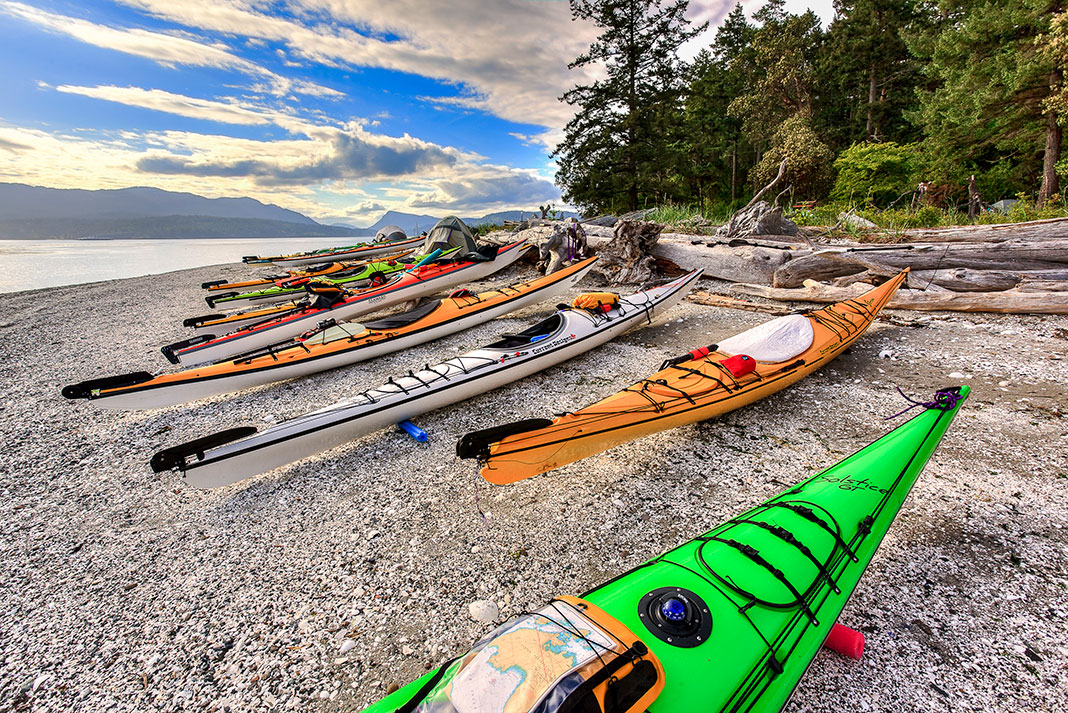
The second-generation BCMTN has evolved into an organization made up of 10 member clubs with up to 1,500 individual members. With a vision of creating a network of access points, rest stops and campsites along the entire coast, the first two official marine trails opened in 2011 in the Gulf Islands and the west coast of Vancouver Island. Meanwhile, each of the six board members is responsible for investigating potential sites in specific regions from Washington to Alaska.
Meinke says the biggest challenge facing the BCMTN is rustling up the volunteer labor to manage such a vast coastline. If the organization’s current fundraising initiatives come to fruition, Meinke hopes to hire staff to increase capacity. “Momentum is everything,” she says. “If we stall we’ll lose it.” — Conor Mihell
Plan your trip on the B.C. Marine Trails Network
A 20-minute car shuttle across the northern tip of Vancouver Island allows advanced sea kayakers to make a four- to seven-day journey from Port Hardy to Coal Harbour. Tide-savvy novices can also explore the sheltered waters of Quatsino Sound.
Best season: July and August, when precipitation is minimal and seas are most calm.
Highlights: Exposed headlands and quintessential beach campsites.
More info: bcmarinetrails.org
 This article was first published in the Early Summer 2014 issue of Adventure Kayak Magazine.
 Feature photo: Coni Martin


