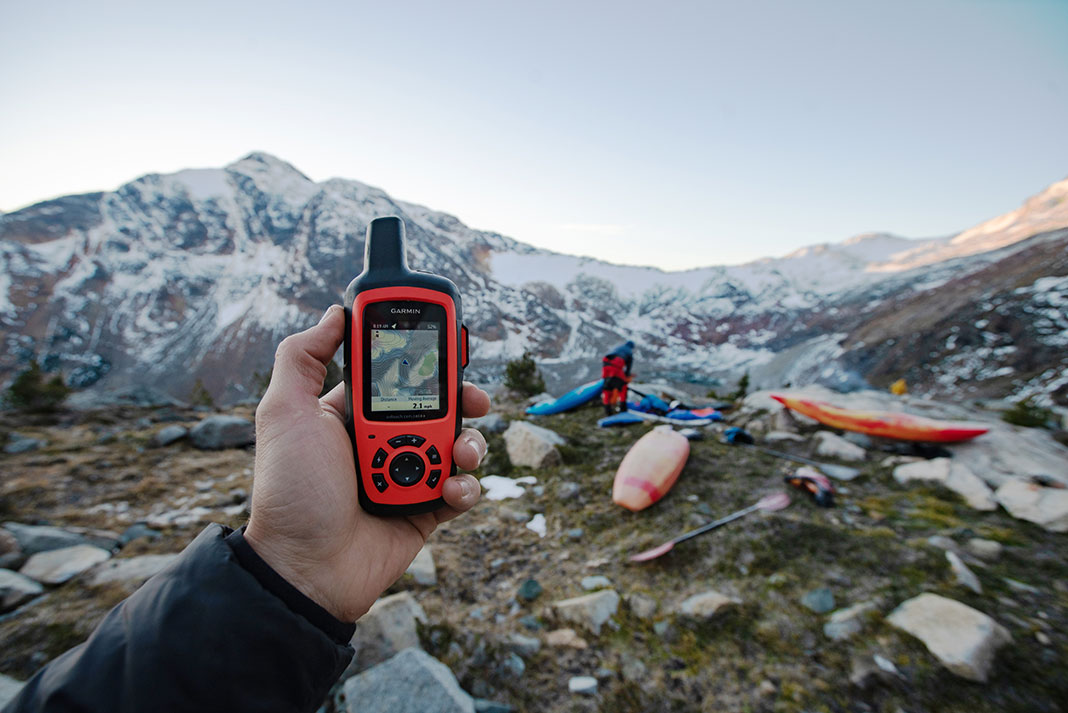
Nowadays, it’s rare to hit the trail or water without finding someone’s nose glued to a phone or navigating by hand-held GPS device. Smartphone navigation is especially common in hiking, but paddlers are uniquely positioned to recognize a stark truth: GPS devices and apps are making our navigation skills worse.
Navigation apps are making us dumber
A 2024 study from researchers at the University of California, Santa Barbara found that individuals who relied heavily on GPS tended to have poorer spatial memory and a diminished ability to form mental maps of their surroundings. So, while devices can be helpful—sometimes even lifesaving—following a traced route on a screen might short-circuit the learning process and leave us unprepared when things go wrong.
In some ways, user-generated trail data is invaluable. In 2022, I was part of a 70-day paddle trip on the British Columbia coast and encountered big tidal currents for the first time. Reading old trip reports was critical to understanding tidal quirks that didn’t make the guidebooks published primarily with sailboats and yachts in mind. Trail data—whether by land or sea—provided in real-time by users is inherently useful. Knowing when the road to a put-in is washed out or a storm has rendered a portage inaccessible is helpful.

But much like footprints on ice in the spring don’t always indicate solid ice, user-generated input is only relevant so long as conditions haven’t changed since the last entry.
In a story reminiscent of drivers who follow GPS directions off a cliff, the Canadian Press reported on November 28, 2024, that search and rescue for Metro Vancouver’s North Shore mountains rescued a hiker who ran into trouble after they “seriously underestimated the difficulty” of a route found on an online hiking app and continued despite deteriorating and snowy conditions. Three nights later, North Shore Rescue conducted another “virtually identical” rescue with an unprepared hiker guided by an app. While apps might be great for your local woods or lake, blindly following them in the wilderness can kill you.
Beyond losing cell service or battery, relying on GPS robs us of building vital navigation skills, especially critical in marine environments. For example, if your GPS constantly reports your speed, it becomes difficult to develop strong dead reckoning skills—the ability to accurately estimate how far you’ve traveled and how much distance remains based on elapsed time. Dead reckoning is important on the water in risk management calculations, such as determining if you’ll reach the safety of an island before a storm hits and in situations in which you may not be able to check your GPS and do a calculation.
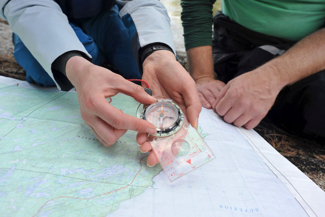
GPS also robs us of practice with triangulation—determining your location on a map using compass bearings or angles of known landmarks in front of you. It’s a skill that becomes important not just in determining your location in the event electronic GPS fails but in staying found in the backcountry.
The difference between GPS instructions and navigation is especially pronounced for paddlers, with our twisting waterways in lieu of marked trails, islands that seem to change places and all look the same, fog banks to disappear into, and waves and currents to factor in when choosing a route.
In the world of sea kayaking, where calculating a ferry angle across a four-knot current isn’t something your phone will do for you, that difference is far more pronounced and consequential than casual day hiking.
And when you’re looking at a screen while you’re hiking or paddling, you’re not looking at your surroundings and actively developing the most important navigation skill any paddler or outdoors person can have—intuition. Paying attention is the only way to recognize the sawtooth look of large waves in the distance, to know that haze on a hot July Great Lakes morning means a storm in the afternoon, or to estimate the distance of an island based on the size of its trees.
Ultimately, GPS apps and user-generated trip reports are tools; they aren’t inherently good or bad. What matters is how you choose to use them. I’ll use mine sparingly and in tandem with a good old-fashioned printed chart and compass.
When she’s not writing, you can find Maddy Marquardt paddling her home waters of Lake Superior.
 This article was first published in Issue 73 of Paddling Magazine.
 Folds funny. Works anywhere. | Feature photo: Virginia Marshall


