Cinching my hood against the stinging rain, I chide myself for forgetting to check the forecast. There’s an irony to my soggy self-ridicule, of course. The last time I monitored the Weather Network for updates and confirmed sunny skies before a trip, it had also bucketed down.
Maxims about the accuracy (or inaccuracy) of weather forecasting are probably as old as the profession itself. But have you ever stopped to wonder exactly how meteorologists predict the weather?
Don’t blame the weatherman: The science of weather prediction
The Babylonians started using cloud patterns and astrology to predict weather as far back as 640 BC. Forecasting grew more scientific over the centuries, but it wasn’t until the invention of the electric telegraph in 1835 that forecasts became more accurate. For the first time, weather analysts could collect data almost instantly from a much wider area.

Data is king
Today, when it comes to making an accurate weather prediction, data is king. The more up-to-date data you can collect, and the faster you can process it, the more likely your forecast will prove true.
Getting that data from all over North America involves a high-tech network of weather stations, satellites, ocean buoys, radar stations, lightning detectors and weather balloons. Sophisticated sensors sample and record a wide range of information including air temperature, barometric pressure, wind speed and direction, cloud cover and height, visibility, wave height and water temperature.
To crunch all this raw data, the National Oceanic and Atmospheric Administration (NOAA) uses a pair of twin IBM supercomputers called Stratus and Cirrus. Developed in 2009, this $180 million machine can store up to 160 terabytes of data and is capable of making nearly 70 trillion calculations per second, four times faster than the NOAA’s previous system. Stratus assembles and analyzes weather data from the thousands of weather stations, balloons, satellites and marine buoys and compares it against 20 weather models.
“Meteorologists used to look at a single model and base an entire forecast off that,” says Ben Kyger, director of central operations for the NOAA’s National Centers for Environmental Prediction in Maryland.
“Today, with the help of Stratus, those same meteorologists can look at all 20 models, set them in motion, and see how long they all predict the same weather. As long as all the models stay the same, the forecast is highly accurate,” Kyger says. “But that accuracy drops significantly when the weather models start to diverge.”
Satellites and supercomputers
In theory, this phenomenal number crunching should allow meteorologists to be as accurate with 10-day forecasts as they used to be with the seven-day outlook. Day six is the new day three. So why do they still seem to get long-term forecasts wrong?
Despite the satellites and supercomputers, weather prediction is still just well informed guesswork.
“Weather is extremely complex and sometimes seems to have a mind of its own,” says Toronto meteorologist Ron Bianchi.“There are so many environmental variables that can change at any given time that sometimes it feels like we really only know what the weather is going to be the day after it happened.”
Weather prediction tools
Satellites: First launched in 1960 by NASA, weather satellites allow forecasters to see weather systems on a national scale. Geostationary satellites orbit 36,000 kilometers above the equator at the same speed as the earth’s rotation, allowing continuous monitoring of weather systems. Polar orbit satellites produce highly detailed imagery of the earth’s surface, orbiting from pole to pole at an altitude of 860 kilometers.
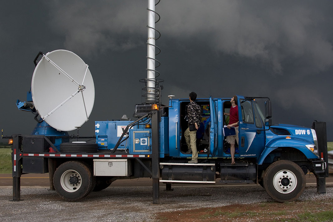
Doppler radar: Radar stations send microwave pulses into local weather systems. Using radar, meteorologists can see the density of moisture in a storm and watch for rotating wind patterns that could evolve into a tornado.
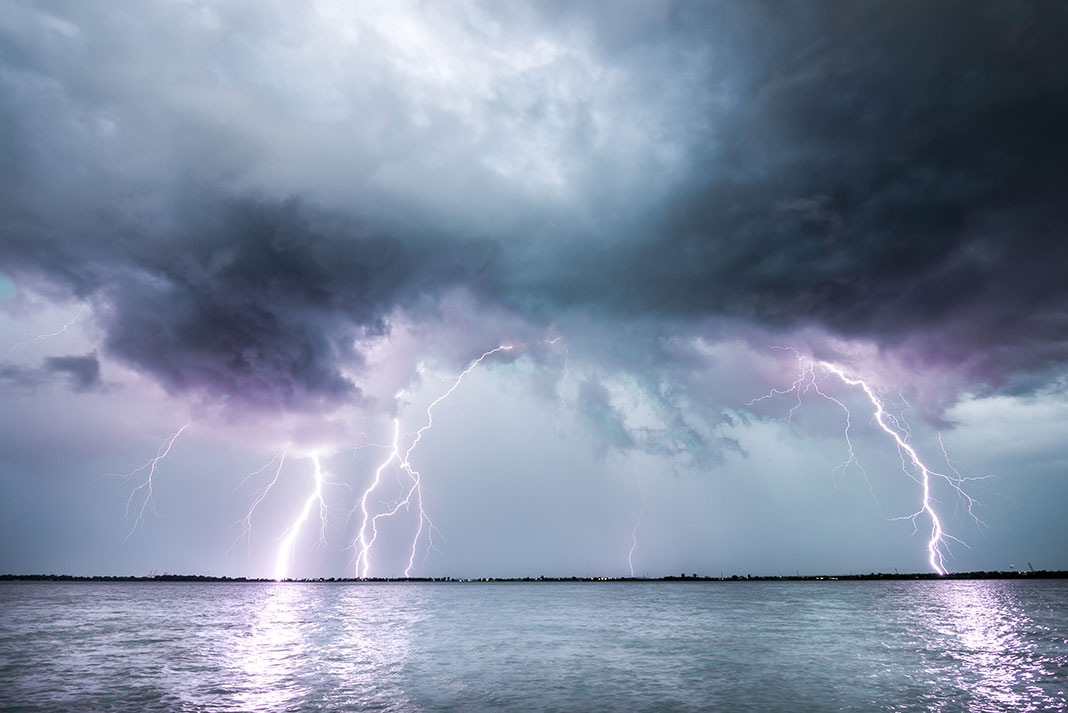
Lightning detectors: Storm watchers also rely on 180 lightning detection sensors across North America to track the motion and intensity of thunderstorms. This system can detect up to 90 percent of strikes and determine their position within 500 meters.
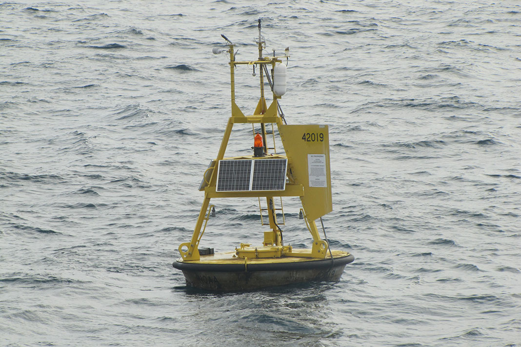
Weather buoys: An extensive network of moored and drifting weather buoys surrounds North America, recording air temperature, wind speed and direction, wave height, swell period, water surface temperature and ocean current data.
David Johnston gets upset when the forecast is wrong, even if the day turns out to be sunny with light wind.
Despite the satellites and supercomputers, weather prediction is still just well informed guesswork. | Feature photo: Steve Rogers



 This article was first published in the Spring 2013 issue of Adventure Kayak Magazine.