This article on safety was originally published in Adventure Kayak magazine.
Few paddlers have shared the water with container ships, ferries and tugs and never pondered the frightening, one-sided consequences of a collision. The watery rules of the road enforced by the Coast Guard—bluntly known to lawmakers as Collision Regulations—require that large, motorized vessels yield the right of way to human-powered craft like sea kayaks. But in reality, “might has right” is a more appropriate adage.
The cardinal rule for kayakers is to minimize time in busy shipping channels. If you must venture into busy waters, be aware of ships’ locations and directions of travel, as well as their inherent limitations to visibility and maneuverability. Never take for granted the speed at which large freighters can travel—in excess of 20 knots in open water.
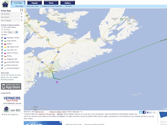
Now, however, sea kayakers have a secret weapon for negotiating shipping lanes. The University of the Aegean in Greece maintains a website that monitors large vessel traffic worldwide, including all coastal areas and major inland waterways like the Great Lakes. Marinetraffic.com provides the real-time position and projected course of cargo ships, tankers, ferries, high-speed craft, tugs, yachts and fishing vessels on Google Maps, including vessel speed and heading, and the ability to track a ship’s progress for up to 48 hours. It also provides wind speed and direction, gleaned from federal sources like the National Oceanic and Atmospheric Administration (NOAA).
The website gathers information from vessels’ automatic identification system (AIS). The International Maritime Organization requires all vessels over 299 gross tons to carry an AIS transponder on board, which includes the boat’s name, dimensions, home port, operator and voyage details, and constantly relays position, speed and course to satellites. Besides improving boater safety, University of the Aegean engineers designed the website to develop navigational algorithms to improve shipping efficiency and correlate ship traffic with pollution patterns.
Of course, web-based, electronic technology has limitations for paddlers. Marine Traffic offers an application for iPhone users, but unless you’re willing to dig out your phone while you’re on the water, you’ll be guessing the location of ships. Still, since the majority of traffic concerns occur near urban areas, Toronto-based sea kayak instructor David Johnston says the ability to live-track vessels is a huge safety advantage.
“We get international ships in the harbor here all the time,” he says,“so this could be fun to play with from a tourist on the water perspective. The other angle would be if you were planning a crossing through shipping lanes. You could check the app to see if any big stuff was creeping up around the corner.”
– Visit www.marinetraffic.com to plan your next trip through a shipping lane.
This article originally appeared in Adventure Kayak, Fall 2012. Download our free iPad/iPhone/iPod Touch App or Android App or read it here.


