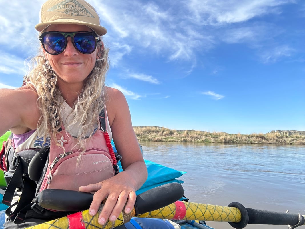
Standing on river left at Clarno Rapid, I watched the water tumble over a wide ledge, forming a hole that stretched from bank to bank. I was on a paddleboard mission down the Wild and Scenic John Day River, contemplating the risk and reward of running the rapid versus portaging. Clarno was the most significant drop near the start of the 70-mile trip.
Eventually, I walked back to my board and cranked down on the straps of my PFD. As I started downstream, my speed steadily increased, and my heart rate kept pace. I landed the drop facing upstream and stalled out in a micro eddy I hadn’t recognized from the scout. As I readied myself to start paddling again, the blade of my paddle caught the current, which unexpectedly jerked the T-grip toward my face, and before I knew it, I had clocked myself with a southpaw undercut to the jaw.
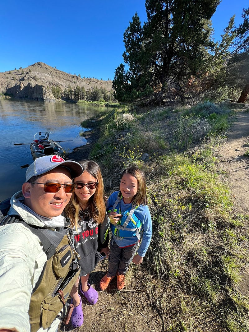
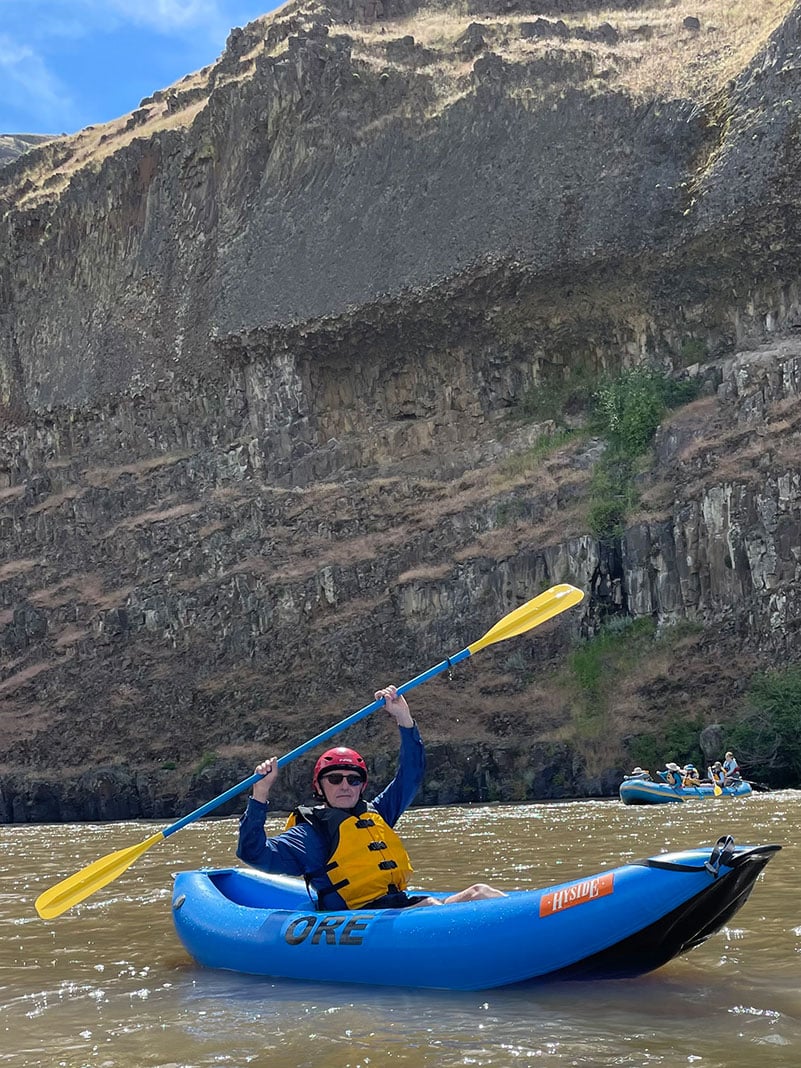
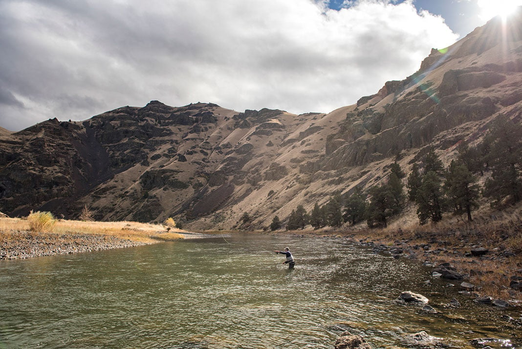
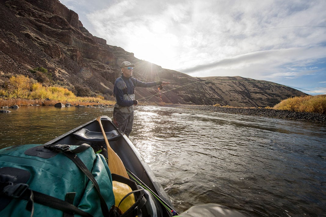
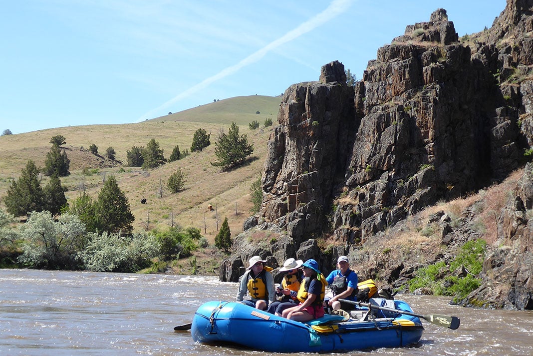
That was the extent of the carnage, though, because overall, the John Day from Clarno to Cottonwood is a mellow and inviting whitewater run. The river holds the longest stretch of free-flowing water west of the Rockies and is an Oregon Scenic Byway. One hundred forty-eight miles are designated Wild and Scenic and require a permit to float. The two most popular sections are the 70 miles between Clarno and Cottonwood and the 48-mile stretch from Service Creek to Clarno upstream. Both offer excellent fishing, pristine desert scenery, exceptional wildlife viewing, and an exceptional float for families, beginner boaters, paddleboarders and canoeists. As a classic Oregon River, though, the John Day has no issue attracting experienced boaters too.
Origin story
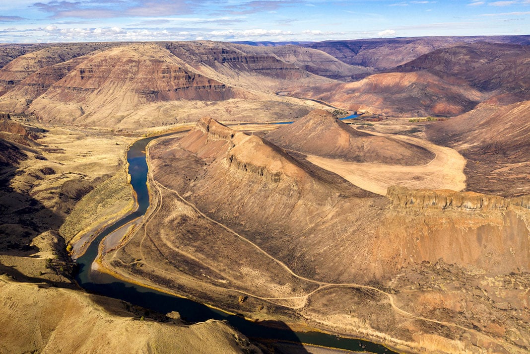
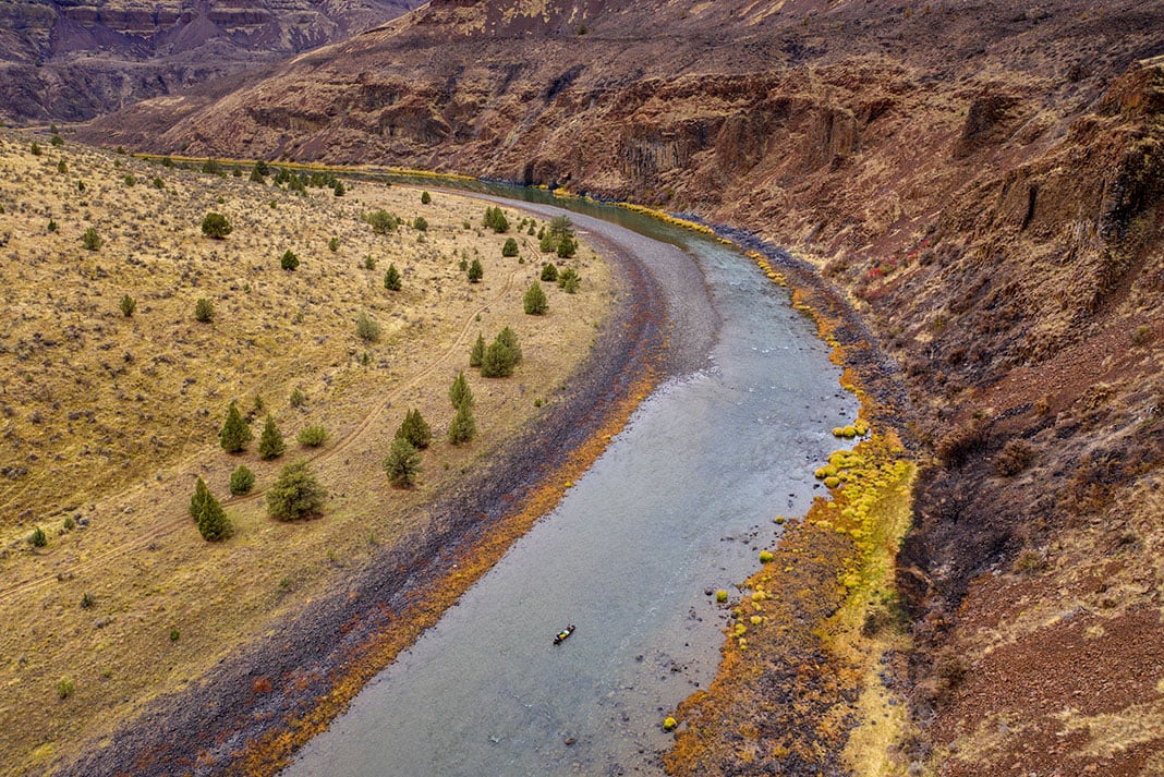
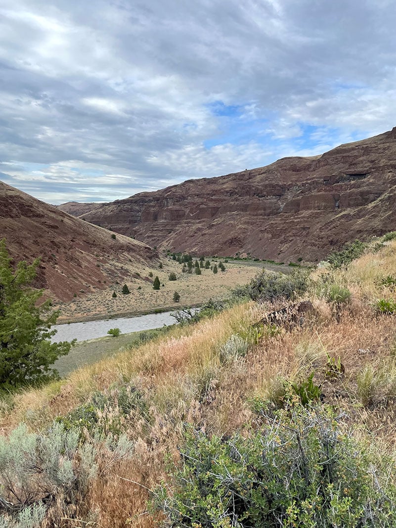
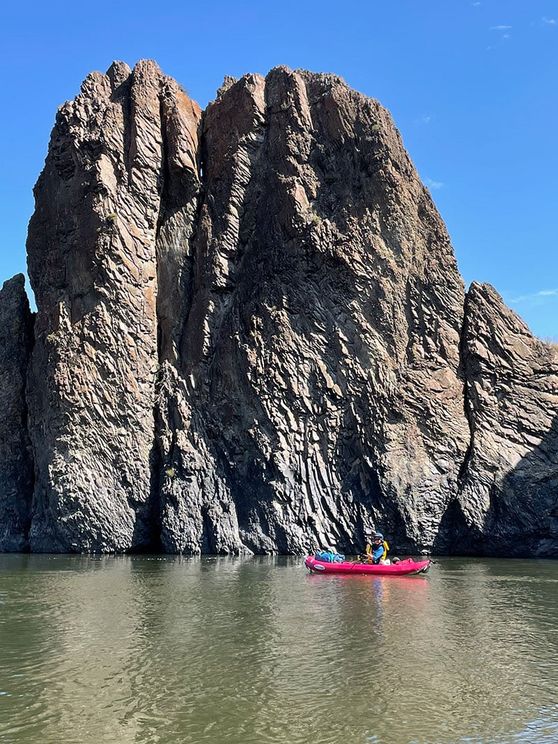
Geologically, the John Day landscape is dominated by flood basalts of every shape and geometry as old as 17 million years. Organ pipes, perfect columns, confused knots of horizontal and vertical buttresses in walled cross sections, and pilings of dismantled ridges are just a few of the shapes the basalt forms.
Deep canyons with alternating towering basalt mounds and angular talluse piles are the most incredible basalt formations. These sections resemble castle ruins or adobe cliffside homes. One could almost convince themselves they were viewing a piece of antiquity. The basalt fortresses also give way to rattlesnake formations—horizontal layer-cakes, climbing in distinguished black, red and orange strata that meet the sky on the horizon.
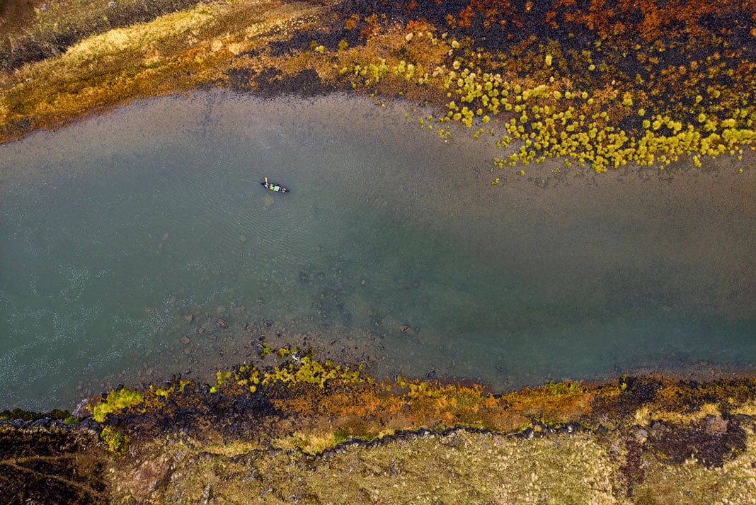
Basalt holds up strong through the erosion process, which manifests in the river profile as long meanders, horseshoe bends and gooseneck curves.
[ Plan your next Oregon paddling trip with the Paddling Trip Guide ]
In wider open sections of the river, basalt is blanketed in golden grasses. This arid, ponderosa pine savanna and grassland hosts juniper trees, occasional sage shrub-steppe, and the largest herd of bighorn sheep in Oregon.
Known to Chinook Native Americans as the Mah-Hah River, the John Day River is named for a member of the Pacific Fur Company’s Astoria Expedition who headed west from St. Louis five or so years after Lewis and Clark. In 1812, John Day and a hunting associate were stripped of their goods and supplies at the mouth of the John Day River in retaliation for the unrelated murder of a native person. Though little is known of Day, more natural features are named after him in Oregon than anyone from the same period.
How to score a John Day River permit and plan the ultimate trip
John Day River permits
Permits to float the John Day River anywhere in the 148 miles between Service Creek and Tumwater Falls are required year-round.
During the high visitor season from May through July, a limited number of permits are available through the Prineville District Bureau of Land Management. There are varying quotas for high-season day and overnight trips.
The river is divided into segments (segment map), and permits become available according to a published schedule. Fifty percent becomes available four months in advance and the remainder one month in advance. The first permit dates go on sale January 1. This differs from the lottery permit system used on popular river destinations like the Grand Canyon.
During the high season, from May into July, a recreation fee must be paid by each trip launching on the river. The recreation fee is $20 per overnight trip per group or $10 per one-day trip per group.
To apply for a permit, visit Recreation.gov.
[ Paddling Buyer’s Guide: View all whitewater & river running accessories ]
River access
There are two popular sections of the Wild and Scenic John Day River that most overnight trips are based around.
One is the 48-mile stretch from Service Creek to Clarno, which takes an average of three days.
The other is the 70-mile stretch from Clarno to Cottonwood, which takes an average of five days.
There are various access points within these stretches and both upstream and downstream of these sections. The segment map of the John Day River provides more info on the various segments and access points.
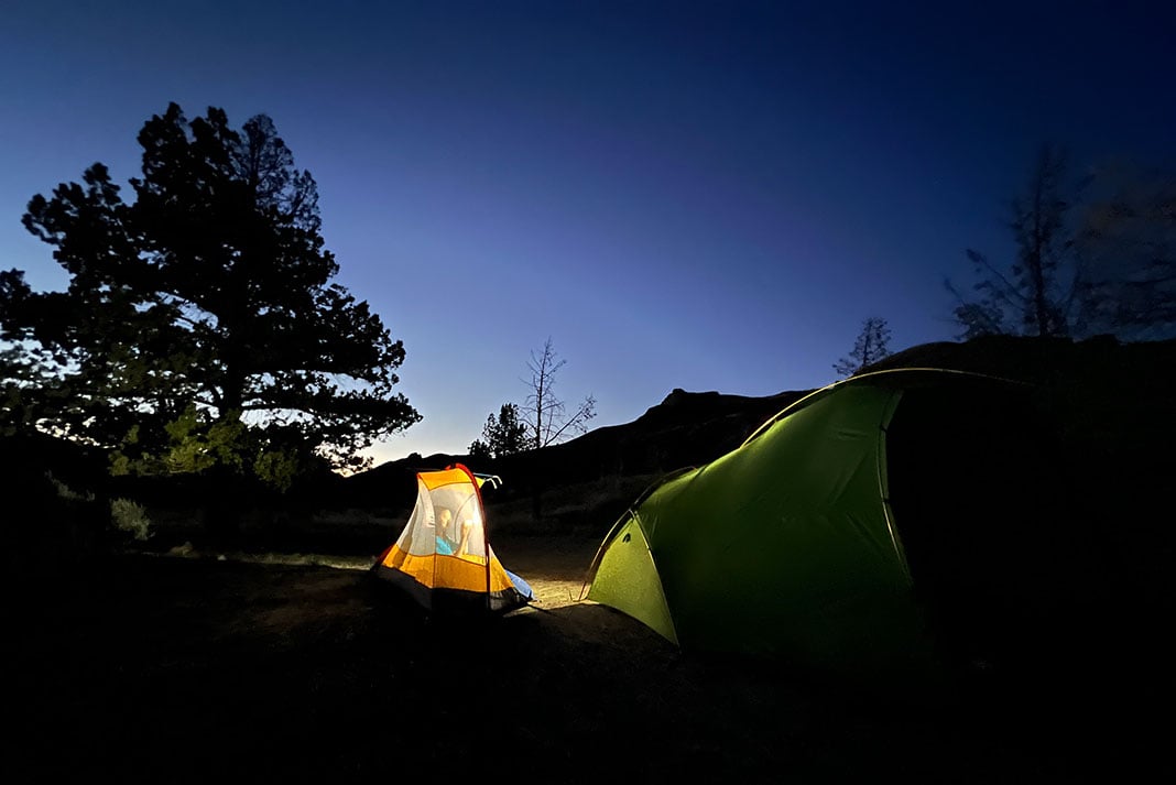
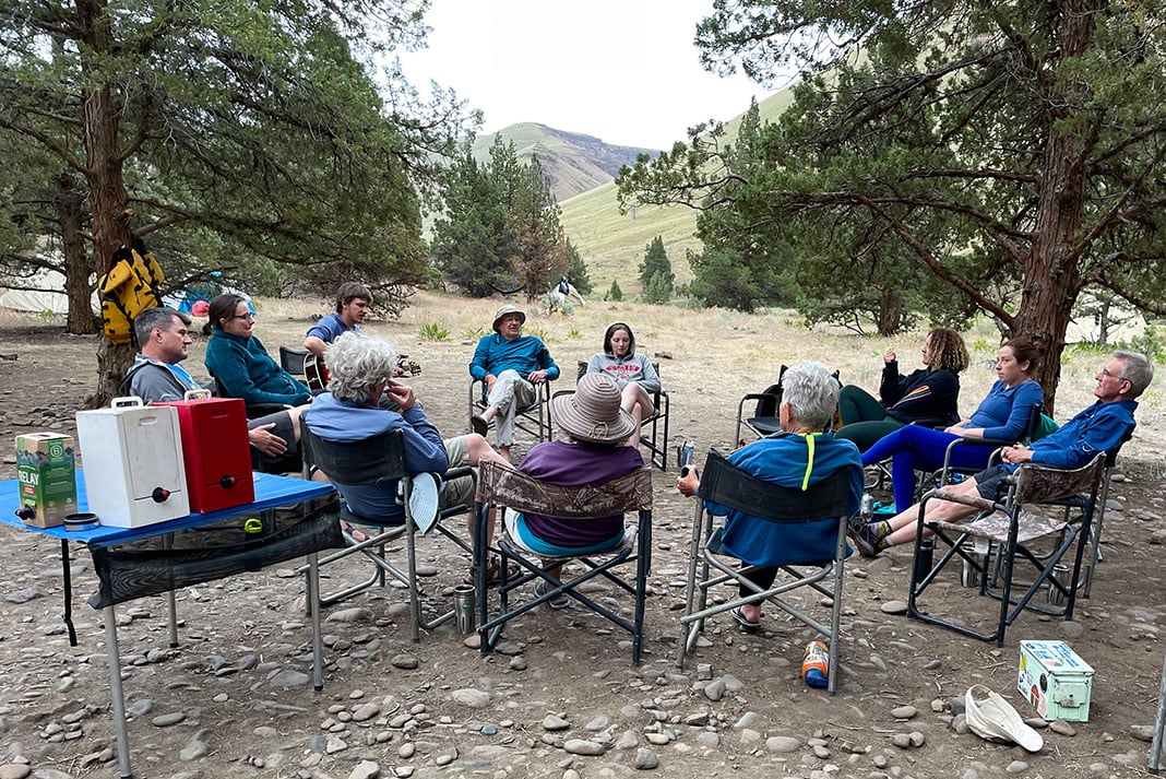
John Day River camping
Camping on the John Day River is dispersed and first-come, first-served.
If you start at Service Creek, camping at Cathedral Rock is a must. The wide-based basalt tower climbs to a point and resembles an old-world basilica. An easy walk to the top from camp is a fun evening adventure. I’ve even witnessed an engagement at the summit during more than one river trip.
John Day River season and flows
John Day flows are largely provided by snowmelt in spring and summer. Depending on the watercraft (raft, canoe, etc.), the river starts flowing inconsistently in February and more regularly in April and June, possibly into July. For the best fishing, anglers searching out summer steelhead visit the John Day from October to December. For non-native smallmouth bass, spring and summer are best. If you are flexible on watercraft, a trip can be manageable most of the year despite flows.
The BLM’s lowest recommended flow for the John Day is 300 CFS if you use an inflatable kayak. The lowest recommended flow for rafts is 1,000 CFS.
The USGS maintains a gauge used to observe the flows of the John Day River near John Day, Oregon.
Points of interest
There are some unique sites to see in the John Day River region. In 1981, spiritual guru Bhagwan Shree Rajneesh relocated his ashram from India to Oregon near Antelope, Oregon, just 15 miles from the Clarno put-in. A documentary called Wild Wild Country debuted in 2018 on Netflix, detailing the conflict that arose with locals and how it became a national scandal.
John Day Fossil Beds National Monument is a mixed sedimentary and igneous complex of rocks that houses a diversity of fossils tracking the mammalian expansion starting 63 million years ago. These fossil beds are one of the most comprehensive collections of specimens from this time period in the world. Monument sites are scattered throughout John Day Country, the closest to the River being the Painted Hills.
Riverside hiking is the most developed out of Cottonwood Canyon State Park, at the take-out of the lower 70-mile stretch. At the park, Pinnacles Trail and Lost Corral Trail are 4.3 miles in one direction and follow each side of the river downstream. The Hard Stone Trail traces the river for 1.5 miles upstream to a whirlpool. The state park also offers year-round camping, rustic cabins, mountain biking and extensive amenities.
John Day River shuttles
The distance and remote nature of many western rivers make it most efficient to hire a shuttle service to get vehicles from put-in to take-out. The John Day River is no exception. Service Creek Resort is a good option for hiring a shuttle company that provides service to every stretch of the John Day River.
Rafting outfitters
The John Day is an approachable river in terms of difficulty, but that doesn’t mean you have to handle it yourself. Skip searching for permit availability and have experienced guides handle the trip by using an experienced rafting outfitter on the John Day River, such as Oregon River Experiences.
John Day River maps and guides
The BLM provides a free guide to the entire Wild & Scenic John Day River that is available online.
Know before you go
Paddlers visiting the John Day River need to be sure they follow etiquette for camping and boating while taking a trip to the environmentally sensitive and popular recreation destination. Read the Boater Etiquette guide before departing for your trip to be sure you are fully prepared for an experience on the John Day.
Feature photo: Austin Trigg


")


