Home Blog Page 222

Paddle Lake Superior’s Rossport Islands

a canoe with a spray deck rests on the shores of Lake Superior along with a tent at sunset
Feature photo: Gary McGuffin

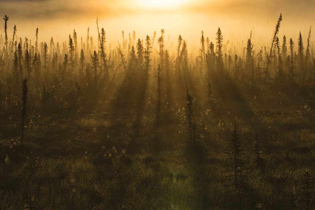
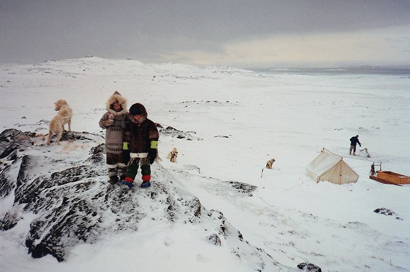
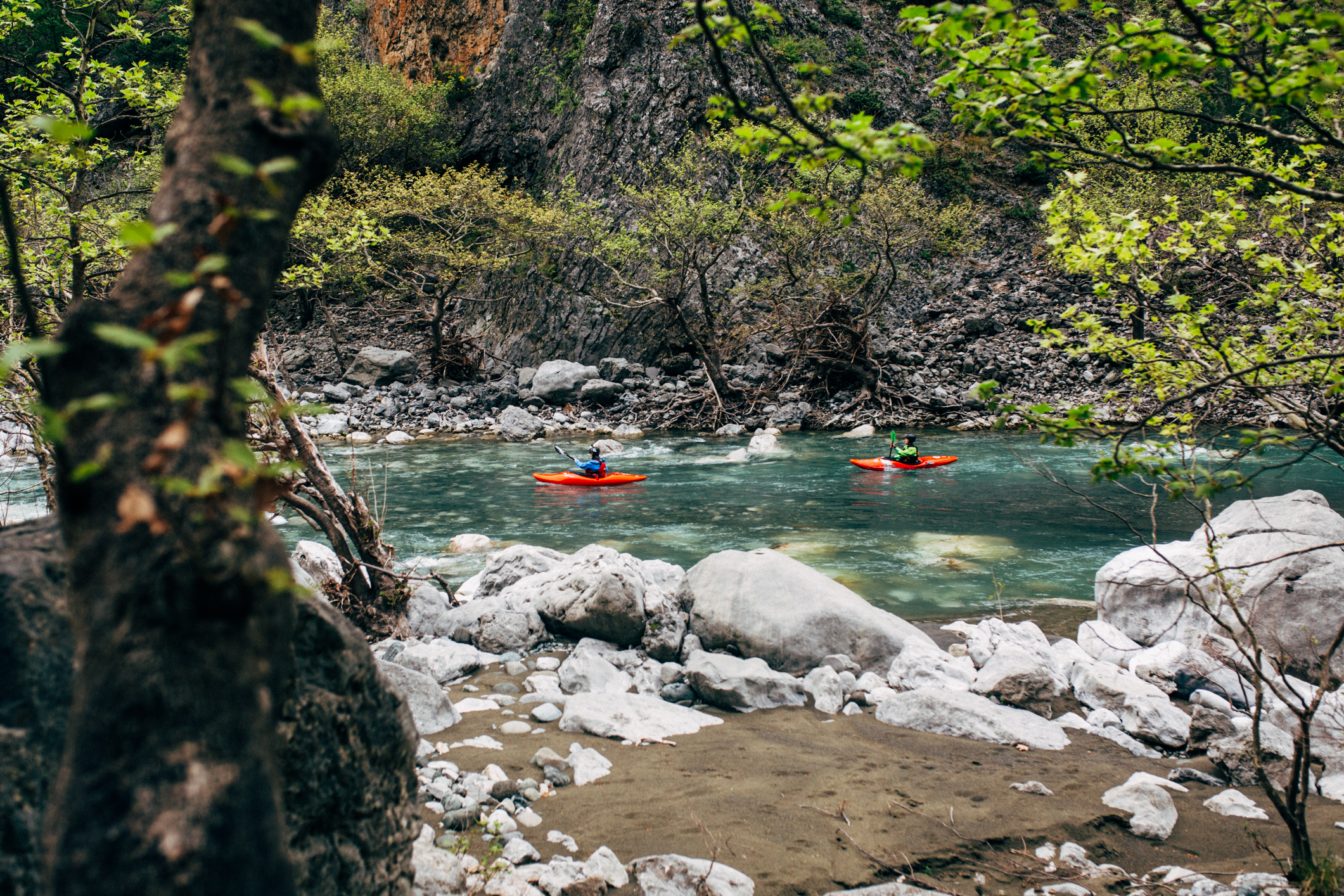
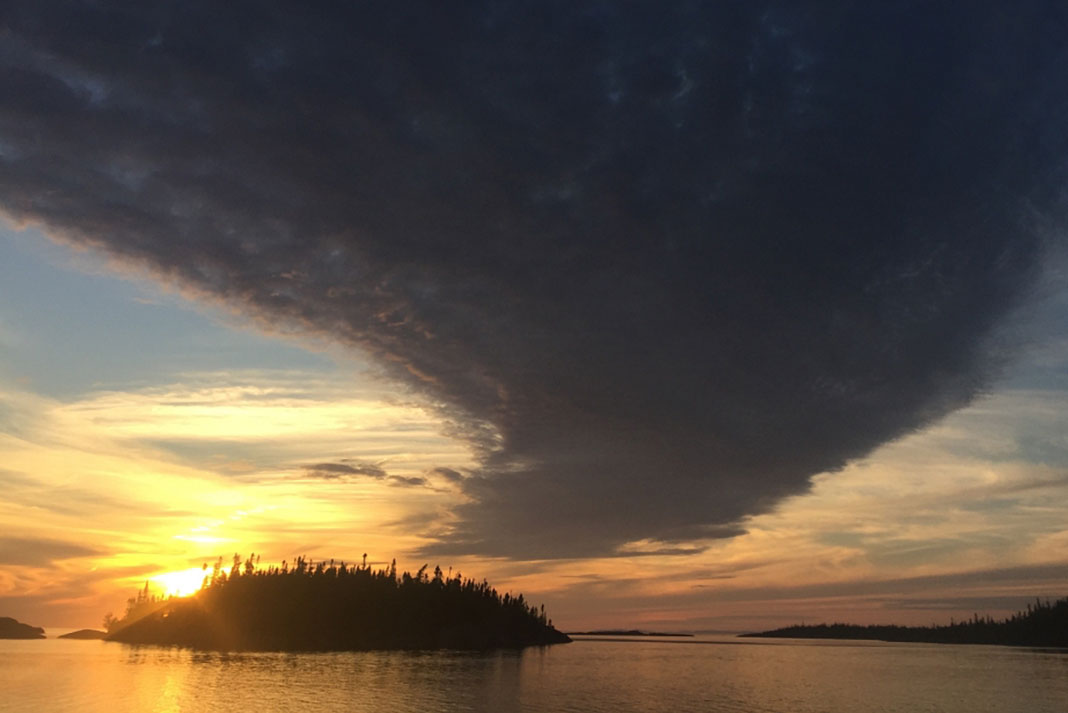
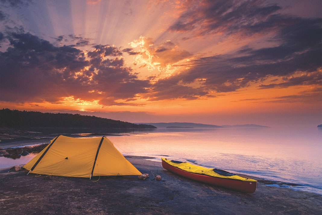
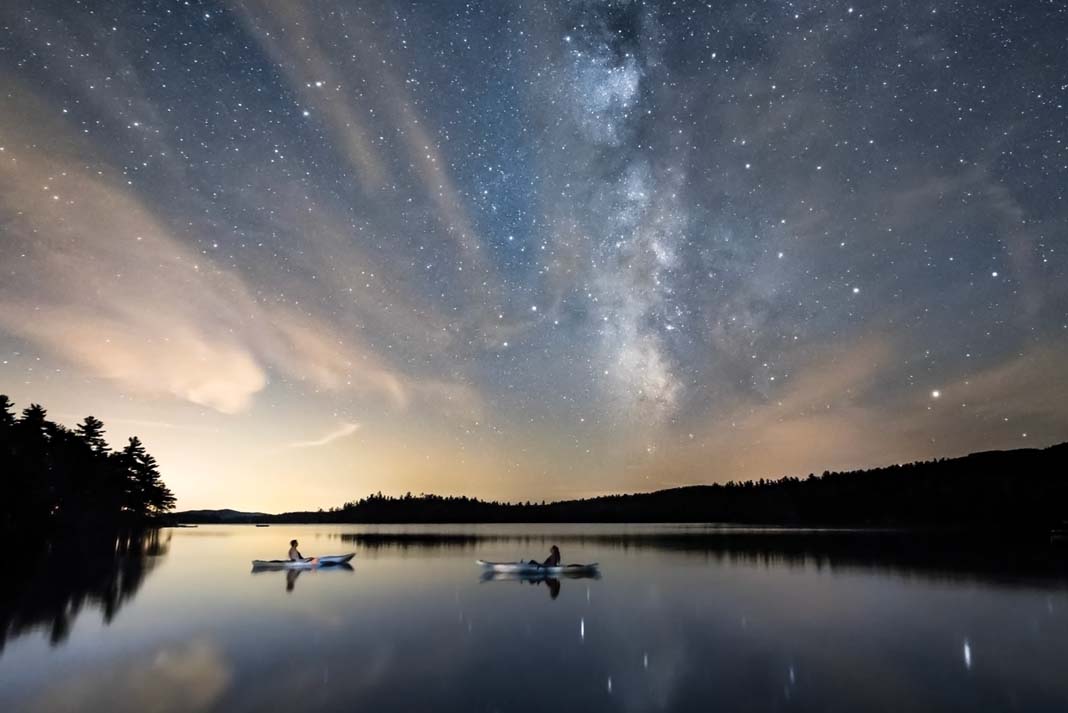
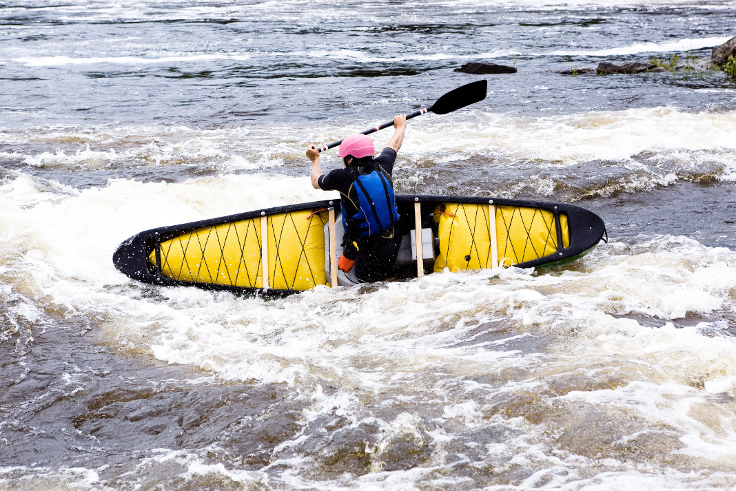
One of our favorite places to introduce canoeists to Lake Superior is the Rossport Islands. The largest archipelago on the largest lake on the planet is also the gateway to the largest protected freshwater ecosystem in the world. The forest here is boreal, and it is festooned with hanging lichens and thickly carpeted with mosses—attractive habitat for woodland caribou, moose, black bear and wolves.

Paddle Lake Superior’s Rossport Islands

Each island in the archipelago provides a unique natural and cultural experience for the modern-day adventurer and naturalist. In shallow channels, paddlers can feel the powerful ebb and flow of the lake’s seiches, a phenomena caused by changing pressures over the lake’s vast surface. Occasionally, we are treated to the thrill of finding human-made pottery shards pressed with signature-corded patterns, or nature-made agates cracked open revealing sparkling crystal structures. Whether we are camped on the island’s grassy clearings or on smooth bedrock, we are reminded that the traditional campsites have been in use for thousands of years.

Painter Lawren Harris wrote of the North Shore, “At times, there were skies over the great Lake Superior, which, in their singing expansiveness and sublimity, existed nowhere else in Canada.”

a canoe with a spray deck rests on the shores of Lake Superior along with a tent at sunset
Feature photo: Gary McGuffin

Rossport paddling trips

If you have a half-day:

Circumnavigate Channel Island. Paddling southeast from Rossport, navigate between Quarry and Healey Islands to Steamboat Channel where beautiful clear green water meets the low cliffs of Jacobsville sandstone—billion-year-old banded rock that is brick red, pink, grey and black.

If you have a day:

Paddle to the stromatolites east of Rossport. Blue-green algae, the Earth’s earliest producers of oxygen, left geologic footprints in the form of beautiful concentric circles embedded in the shoreline of what is now Schreiber Channel.

[ Plan your next Great Lakes paddling adventure with the Paddling Trip Guide ]

If you have a weekend:

When your weather radio reads fair weather, a trip to Battle Island Lighthouse is high on my must-visit list. In its 140-year history, the light station has been witness to some of the Lake’s greatest storms.

If you have a week:

Pack and paddle from Rossport to Silver Islet taking in the varied coast of the outer islands. My favorite features are Superior’s own Giant’s Causeway of honeycomb black basalt and the infamous island of silver off the tip of the Sleeping Giant.

Rossport Island stats

Island population: 65

Summer temperature: Can range from 5°C to 25°C, pack accordingly.

Wildlife: Lake trout, salmon, eagles, herons, black bear, woodland caribou, wolves.

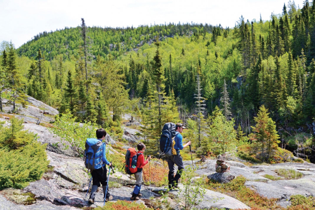
Diversion: Hike a portion of the 53-kilometer Casque Isles Trail between Rossport and Terrace Bay as an alternative to paddling on a windy day.

Must-see: Meet the potter of Island Pottery, whose Lake Superior-inspired work is rooted in the ancient tradition of ceramic making in these islands.

Best eats: Serendipity Café and Gardens is famous for its trout, salads and desserts. Dine while enjoying the view of Rossport Harbour.

Luxury: Stay at the Willows Inn B&B overlooking Rossport Harbour.

Must-have: A seaworthy canoe with full spray deck cover.

CCC PartnerBadge WebGary and Joanie McGuffin fell in love with Lake Superior while paddling across Canada in 1983. Years later, a summer-long circumnavigation of the lake began and ended near Rossport. Ever since, the McGuffins have been championing the world’s largest freshwater lake, even forming the Lake Superior Watershed Conservancy and building a water trail to encompass it.

Watch THE CANOE, an award-winning film that tells the story of Canada’s connection to water and how paddling in Ontario is enriching the lives of those who paddle there. #PaddleON.


Starry Night: The Cosmic Story Behind A Beautiful Kayaking Photo

a photo of two kayakers floating on still water under the starry night sky
The photographer’s friends share stories under the starry night sky. | Feature photo: Will Strathmann

The night sky has always fascinated photographer Will Strathmann.

“My earliest memories of stargazing are from the exact dock where I took this photo,” says the Philadelphia lensman. Laying south of New Hampshire’s White Mountains, Squam Lake is also where Strathmann learned to paddle, and where he returns year after year for still waters and mesmerizing skies.

How Will Strathmann captured his starry night photo

Staying at the lake during a new moon, Strathmann and his friends launched their kayaks for a spontaneous night paddle.

“Kayaking on a lake that is as calm as Squam was that night feels as if you are floating within the stars,” he says. “Your sense of space and proximity disappears. It’s as if the only thing holding you up from falling into infinite darkness is the thin shell of the kayak and the glow of the stars pulling you up to the sky. I wanted a photo that captured that feeling—a combination of vulnerability and awe.”

The photographer’s friends share stories under the starry night sky. | Feature photo: Will Strathmann

Strathmann positioned his Nikon D750 SLR on a tripod and used an intervalometer to trigger the camera’s shutter at set intervals. “When shooting landscapes at night, I start with a 15-second exposure, f/2.8 and ISO 2000, then tweak the settings to get the photo just right,” he explains. “The biggest challenge was getting the kayaks in the right place and remaining still enough to not create motion blur.”

In low light, it helps to have obliging subjects

Strathmann and a helpful friend spent 15 minutes watching the stars and staying statue-still while the camera fired away.

“Capturing night scenes takes a lot of patience and practice,” Strathmann admits. Even then, getting the perfect after-dark adventure shot “comes down to trust and luck.” After he’s selected equipment, composition, location and timing, “everything else is up to the cosmos.”

“I wanted a photo that captured that feeling…of vulnerability and awe.”

“Sometimes you get unlucky and it clouds over or the shooting star falls just out of frame. But it’s those times when preparation meets good luck and the lake is calm, the clouds are just right and the kayaks don’t move—that’s what makes astrophotography exciting and why I love what I do.”

Cover of Adventure Kayak magazine, spring 2017 issueThis article was first published in the Spring 2017 issue of Adventure Kayak. Subscribe to Paddling Magazine and get 25 years of digital magazine archives including our legacy titles: Rapid, Adventure Kayak and Canoeroots.


The photographer’s friends share stories under the starry night sky. | Feature photo: Will Strathmann


How The British Co-Opted Kayaking

British sea kayaking pioneer Ken Taylor demonstrates chest swelling at Loch Lomond in 1960
The kayak that started it all: Ken Taylor demonstrates chest swelling at Loch Lomond in 1960. | Feature photo: Courtesy Ken Taylor

When the British pound sterling plunged in currency markets recently, my paddling friends pounced, snatching up made-in-England kayaks and other kit. Around the same time, a landlubber friend asked me why sea kayaking—an activity with roots in Arctic North America—has its modern epicenter in the U.K.

How the British co-opted kayaking

It’s a good question. You’d expect contemporary sea kayaking to have originated in Denmark, which governs Greenland; or Russia, which colonized Alaska, encountered the Aleuts and renamed their traditional iqyax the baidarka. But we don’t put in boat orders when the krone or ruble drop.

British sea kayaking pioneer Ken Taylor demonstrates chest swelling at Loch Lomond in 1960
The kayak that started it all: Ken Taylor demonstrates chest swelling at Loch Lomond in 1960. | Feature photo: Courtesy Ken Taylor

Sure, English explorer and privateer Martin Frobisher brought a Baffin Island kayaker and his boat back to London in 1577. Yet British dominance of sea kayaking stems from a much more recent happenstance involving two Scots and the work of a German-American.

The first Scot was a geologist named Dr. Harold Drever, who visited Greenland to study rocks and along the way developed an affinity for kayaking. In 1958, back in Scotland, he met a University of Strathclyde student and paddler named Ken Taylor. Drever encouraged Taylor to study Greenland kayak culture at Illorsuit in West Greenland. Taylor traveled to Illorsuit and returned in 1959 with a kayak built for him by Greenlander, Emanuele Korneliussen.

Taylor belonged to the Scottish Hostellers’ Canoe Club and demonstrated kayaking and rolling on Loch Lomond. When he moved to Wisconsin five years later, he left his kayak behind with fellow club members Joe Reid and Duncan Winning. Winning (later appointed officer of the Order of the British Empire for his contributions to kayaking) took measurements from the craft and shared the drawing with English paddler Geoffrey Blackford. Blackford built a slightly larger plywood version. In 1972, England’s Valley Canoe Products began commercially producing a fiberglass version called the Anas Acuta. The rest, as they say, is history.

Kayaking could have shaped up differently

Now enter Ernst Mayr, a German-born ecologist who migrated to the U.S. in 1931.

Mayr was the first ecologist to describe Founder Effect and Genetic Drift, which explain what happens when a few individuals from a species in one area colonize another area. The colonists represent a tiny sample of their home population, and may have a higher concentration of random traits, like blue eyes (HMS Bounty mutineers on Norfolk Island) or longer legs (anole lizards on Caribbean islands). This original non-representative sample then evolves in its new surroundings, sprouting skegs, hatches, deck compasses and other adaptations.

Taylor’s Illorsuit kayak is the random founding ancestor that spawned a sport. Its progeny include the Nordkapp, Romany, Cetus, Explorer, Xcite and nearly 40 other derivatives. Chance played an enormous role: kayak designs vary highly across Greenland’s regions.

[ Paddling Buyer’s Guide: View all sea kayaks ]

“If Ken had based himself in a different part of Greenland or used a different kayak builder, the style of the sea kayaks we paddle today might well have been different,” notes the origin story on Valley’s website.

Taylor’s boat isn’t kayaking’s only Founder Effect. In 2010, Ginni Callahan brought a few kayak sails back to North America after a visit to Australia, where sailing is an endemic part of kayak culture. The sails, designed by the late Mick MacRobb, have caught on and are thriving in their new habitat. So well, in fact, that you can now order a British-built P&H Aries with a new sailing adaptation: a skeg in the front. Somewhere, Ernst Mayr is nodding.

Neil Schulman celebrates kayaking’s diverse heritage in Reflections.

Cover of Spring 2017 issue of Adventure Kayak MagazineThis article was first published in the Spring 2017 issue of Adventure Kayak Magazine. Subscribe to Paddling Magazine’s print and digital editions, or browse the archives.


The kayak that started it all: Ken Taylor demonstrates chest swelling at Loch Lomond in 1960. | Feature photo: Courtesy Ken Taylor


Seasons Of Change: Growing A New Generation Of Kayak Guides

a group of young women learning to be paddling guides gathered under a tarp
“Tell me, what is it you plan to do with your one wild and precious life?”—Mary Oliver | Feature photo: Virginia Marshall

Autumn transformed my summer. At the outfitters where I’d signed up for a stint of glory days guiding, my boss tasked me with the responsibility of role model for my 17-year-old co-guide. I’ll admit, I wasn’t sure how to connect with this up-and-coming cohort of kayak guides.

He asked me to show my young protégé more than just the mechanics of a successful trip, or even the qualities of a good leader. I was to model for Autumn possibility. “She has the potential to be a great guide,” he said. “Show her the way.”

Seasons of change: Growing a new generation of kayak guides

Our group was not the clutch of nearing-retirement engineers, professors, doctors and teachers I typically shepherded down the coast and pampered with gourmet meals for seven days. Rather, they were a gaggle of 14-year-old girls and two equally fresh-faced counselors from a Michigan summer camp—all cornrows, sunscreen and shy smiles crowded with train tracks and multi-colored elastics.

I was nervous as hell. Did I even know how to talk to teenagers anymore? How could I conceal my cluelessness about all things pop culture for 10 whole days? More frightening still, who was I to be a pillar of possibility?

I remembered a novel I’d read recently, Halfway Man, by the late Wayland Drew. Its title describes the protagonist’s uncertain position between worlds: traditional and modern, spiritual and material, developed and wild. Ultimately, he bridges the divides with a long paddling trip in the same northern country I was to guide the girls through. I felt neither naïve nor sage. Perhaps the solution to my own halfway-ness was as simple as going kayaking.

“Tell me, what is it you plan to do with your one wild and precious life?”—Mary Oliver | Feature photo: Virginia Marshall

We launched in enthusiasm-sapping headwinds and crawled doggedly north up the coast. A dance instructor in her blink-and-you-miss-it hometown, Autumn was equally fluid in a kayak. As the waves built into whitecaps, her focus never wavered from the group. In the sweep position, she stayed beside the slowest tandem, offering encouragement and pointers on strokes and steering. As a leader, she navigated wide berths around shoals and headlands, positioned herself between the group and potential hazards, and picked out the finest campsite on a long stretch of surf-washed beach.

As the days stretched to a week, I realized Autumn was halfway herself. Sometimes, her maturity made the older counselors seem girlish by comparison; at other times, her own girlishness allowed her a wonderful connection and closeness with the campers. Maybe that familiar bridge was the foundation of the friendship that grew between us.

Worry washes away in the moment

“No pressure,” I’d cracked to my boss before the trip, masking nerves in sarcasm the way I often do. On the water and in camp, however, the anxiety washed away. Watching the girls become confident paddlers, sharing with them hidden swimming holes beneath cascading waterfalls and red rock amphitheaters rimmed in perfect jumping cliffs, showing them where people long ago recorded their most powerful stories and dreams in ancient rock paintings, I felt only joy and gratitude at helping them discover this world. My world.

Our experiences shape us, begin to define us, but they don’t have to limit us. It’s a trick of psychology that we tend to believe that the person we are today is our final self, fundamentally the person we’ll always be. That the many changes of our less experienced decades are reserved for our headstrong youth, not an ongoing process throughout our lives. Halfway men, and women.

My young campers, still in the fresh springs of their wild and precious lives, were filled with it. And none embodied it more fully—or compelled me to do the same that summer—than Autumn. Possibility.

After eight years at the editor’s desk, this is Virginia Marshall’s final issue of Adventure Kayak.

Cover of Adventure Kayak magazine, spring 2017 issueThis article was first published in the Spring 2017 issue of Adventure Kayak. Subscribe to Paddling Magazine and get 25 years of digital magazine archives including our legacy titles: Rapid, Adventure Kayak and Canoeroots.


“Tell me, what is it you plan to do with your one wild and precious life?”—Mary Oliver | Feature photo: Virginia Marshall


Fit To Be Tied: The History & Significance Of Voyageur Sashes

three children inside a wood cabin laugh as they dress up in colorful voyageur sashes
Chiropractors would have hated them. | Feature photo: Goh Iromoto/Ontario Tourism

I have traveled across the country, from coast to coast, and I’m always amazed at how people get themselves tangled up in their voyageur sashes. Also called a ceinture fléchée, the sash was worn by members of the North West and Hudson Bay companies during the fur trade. Today the sash remains an important cultural symbol for the Metis people. From its practical past to its decorative uses today, properly wearing a sash is simple—but how to tie it depends on your purpose.

The history and significance of the voyageur sash

For the voyageur paddling and portaging from ice-out to ice-in, the sash was a functional item to help cope with the physical stress of the job. For this reason, the voyageur would wear a sash that was at least eight inches wide and 12 feet long.

To wear this sash with historical accuracy, the sash should sit high on the waist, set between the top of the pelvis and the bottom of the ribs. Wrap the sash around the belly two to three times. The sash should be tight to support the lower back—voyageurs regularly tumped hundreds of pounds of furs and supplies down portage trails and along shorelines. When the sash is tied in this way it acts like a rudimentary weightlifting belt, and a voyageur’s back can take many more hours of paddling and lift gear with less chance of injury. Just don’t tell your chiropractor I said so.

Chiropractors would have hated them. | Feature photo: Goh Iromoto/Ontario Tourism

Once wrapped tightly around the waist, the sash is tied securely by the fringe in front of the body. The remainder of the long fringe should hang between the legs, but it should not hang lower than the knees. Tie it tightly with a simple double knot. Sorry, no fancy knot work here.

In most paintings that depict voyageurs and in photos of modern recreationists, you’ll see the sash worn in a decorative style. This style is tied to show off its beauty during dancing or for a special event rather than for supportive purposes.

When worn in this way, the wearer wants the length of the sash to fall alongside his body to flash its colors. Only wrap the sash once around the waist. When an eight-foot-long sash is worn this way, much drapes down over the knees, with fringes brushing the ankles that bounce with the movement of dance.

5 unlikely uses for a voyageur sash

  1. Holding your capot (jacket) closed, and as a belt to hold up loose-fitting pants.
  2. A storage pocket for snacks, especially cheeses.
  3. The sash can provide extra support and hold in a hernia during weight-bearing exercises—not doctor recommended.
  4. Multi-purpose rope.
  5. Record keeping. Since many voyageurs were illiterate and couldn’t keep written records, they might tie five knots in the fringe of their sash to indicate a $5 debt owed. Or, a trapper would tell his family he’d be back in 10 days, and then tie 10 knots in his fringe and remove one every day. When his knots were done it was time to come back home.
[ Browse the widest selection of boats and gear in the Paddling Buyer’s Guide ]

Miguel Vielfaure is the owner of Étchiboy, a Manitoba-based company that weaves sashes, and a regular at the annual Festival du Voyageur.

Cover of the Spring 2017 issue of Canoeroots MagazineThis article was first published in the Spring 2017 issue of Canoeroots Magazine. Subscribe to Paddling Magazine’s print and digital editions, or browse the archives.


Chiropractors would have hated them. | Feature photo: Goh Iromoto/Ontario Tourism


Land Before Time

FINDING PALEOZOIC PLEASURE IN THE PATHLESS WOODS. | PHOTO: PETER MATHE

The world’s very first trails are found in a cave on Mistaken Point in Newfoundland. In keeping with the sentiments of those who named the peninsula, they’re not what you expect.

More than 565 million years ago, a soft-bodied, jelly-like sea creature did something that had never been done before. It stretched. Then it scrunched. And in doing so, it moved itself just a few millimeters across the ocean floor.

To call the Ediacarans a kingdom of trailblazers wouldn’t be entirely correct, according to Robert Moor, author of On Trails. His book is as much love-letter to footpaths of the planet, as it is a meditation on the nature of existence. Traces might be a preferable term for the half-moon prints preserved in ancient ash on Mistaken Point. You and I would likely mistake them for scuffs.

Yet, these marks rocked the world of evolutionary biologists. The fossils represent the first time life began in one spot and struck out for another. Why did animal life move in the first place, Moor asks. What was it seeking?

It’s upon this unknowable, abstract nugget that my mind settled while huffing along the 2,350-meter Hell’s Canyon portage on the Missinaibi River. The double-carry gave me a combined total of seven kilometers to swat horse flies, and contemplate the origin of the tidy thread carving a path through the encroaching chaos of deadfall and scraggy pine.

FINDING PALEOZOIC PLEASURE IN THE PATHLESS WOODS.
| PHOTO: PETER MATHE

This portage was sketched out first (as many as 2,000 years ago) by the James Bay Cree to connect the James Bay Basin to Lake Superior, 750 kilometers distance. When Europeans went north in the 18th and 19th centuries seeking furs, they followed the same paths of least resistance around the many falls and rapids. In the late summer of 2016, so did we.

For 11 days we followed by foot and paddle, tracing a thin blue line 300 kilometers north to Moosonee. More than 1,000 canoeists paddle the Missinaibi each year, but we saw only one other boat. In the isolation of our Old Town Appalachian we felt like we were one of the first explorers here—despite the orderly portages’ clear evidence to the contrary.

“We are inheritors of that line but also its pioneers,” writes Moor. “Every step we push forward into the unknown, following the path, and leaving a trail.”

That feeling of being both follower and explorer is a sentiment every wilderness canoeist can relate to.

Since Ediacarans first moved themselves all those millions of years ago, all manner of life on land has created trails. From the tiniest insects to the largest mammals, to humans, who have changed entire landscapes and ecosystems with our trail building. Whether made in the search for resources or safety, those trails guide us, offering a collective wisdom through the otherwise pathless woods. Yet, nothing new is explored by staying on trail.

The dense softwood forest and bog land squeezing the blue ribbon of the Missinaibi River on its journey north has the feel of a place primordial and unchanged.

That same evening I follow a game trail that leads away from our gravel bar campsite and into the forest. On the river, the path is clear, but here the trail soon disappears in a snarl of boughs and deadfall. I check the map, take a bearing on my compass and set off.

The trail points the way, but can only take us so far. Then, just like the Ediacarans, we explore on our own.

After five years at the helm, the Spring 2017 issue was Kaydi Pyette’s final issue with Canoeroots.


This article originally appeared in Canoeroots
 Spring 2017 issue.

Subscribe to Paddling Magazine and get 25 years of digital magazine archives including our legacy titles: Rapid, Adventure Kayak and Canoeroots.

Calling For Help

Calling For Help | Safer Paddling Series: Episode 8 | Rapid Media

In partnership with the U.S. Coastguard and the Water Sports Foundation, instructors Paul and Kate Kuthe of the American Canoeing Association teach proper radio protocol for emergencies on the water in Safer Paddling Series: Episode 8.


Knowing how to properly call for help is crucial to your safety on the water.

1Turn your VHF radio to channel 16.

To call the coast guard or any other boat during an emergency, turn your VHF radio to channel 16.

Channel 16 on a VHF radio will connect you with the coast guard or other boats during emergencies.
Learning how to call for help is vital to your whitewater safety skills


2 Repeat the word “mayday” 3 times.

Repeat the word “mayday” three times. Say “this is,” then repeat the name of your vessel three times. If you’re in an unnamed kayak, use a visual description, like the colour of your boat.

A stranded kayaker describes his boat to emergency responders on VHF radio.

3 Repeat “mayday” +  description of your kayak.

Repeat “mayday” once more, and the description of your kayak.

Use a compass bearing to give your coordinates.

4 Give Your GPS Coordinates

Next, give your position. If you have them, use your GPS coordinates. If not, the next best thing is a compass bearing and a distance to a well-known landmark, like a navigational aid or a small island.

Adding any descriptive information can help with your rescue.

5

State the nature of your distress

State the nature of your distress, the kind of assistance needed, and the number of people in your group. Add any other information that might help with your rescue. Then, say “over.”

Be smart. Be safe. Have fun.

As a United Stated Coast Guard nonprofit grant recipient, the Water Sports Foundation produces paddling safety outreach materials and distributes them through boating and paddling media providers. Paddle sports currently has an inordinately high rate of accidents and deaths that for the past five years has been increasing, while power boating stats have been decreasing during the same period. The goal is to create heightened public awareness of safer paddling making paddle sports safer and to ultimately reduce the total number of paddle sports related deaths annually.

Exciting Whitewater Hazard News

Photo: Joshua Wyrick
UC Davis studying the physics of horseshoe riffles on the Yuba River using a raft.

Rapid editors’ inboxes are generally full of links to exciting edits and pitches about whitewater trips snaking rivers across in remote corners of the globe. We rarely receive in depth scientific articles from river scientists, so we were intrigued to hear from Dr. Greg Pasternack from UC Davis about important work his research group has just published. 

Dr. Pasternack’s team has published a scientific article where they explain a new metholodoly that can be used to map the spatial pattern of whitewater river hazards. These hazards are mapped in 1-m resolution over lengthy river segments, and they produce maps that display two variables: passage proximity to a hazard and the paddler’s reaction time before encountering the hazard.

As many whitewater paddlers are aware, the basic and often vague class rating system is often used to define rapids or long stretches of whitewater. Engineers use a basic computation of what it takes to sweep someone off their feet in flood waters.

“I think you will find this is not only a scientific novelty, but of importance for river safety and for improving how boaters prepare to navigate and enjoy rivers. It will take effort to deploy this nationwide, but it is feasible and foreseeable to do so if the will exists,” writes Dr. Pasternack. 

Mike McVey Riverboards 70-Foot Waterfall

Vimeo user TacomaKayak11
Riverboarder Mike McVey goes over 70-foot Outlet Falls in Washington

{Vimeo}213383452{/Vimeo}

Vimeo User TacomKayak11

Mike McVey is well known in whitewater circles for his boundary-pushing riverboarding pursuits. In this video he shows he is still innovating within the sport, dropping 70-foot tall Outlet Falls in Washington State to the cheers of paddlers waiting below. 

Balkan Rivers Tour 2 Dispatches: Part 2

Photo: Andraž Fijavž Bačovnik
Kayakers on the Valbona River during Balkan Rivers Tour

You know the living is good when you spend the morning ski touring untouched snow high in the alpine, and the afternoon boofing your way through spectacular limestone canyons. The Balkan Rivers Tour 2 team hopped a ferry in Venice, Italy after paddling the Soča River from source to sea and landing in Igoumenitsa, Greece days later.

From the mountains that act as the source for the rivers below, the team followed the water from up high to down low. But hearing the blast of dynamite while sitting around the campfire at the end of the day seemed to take all the good lines from the river and mountain and replace them with a sickening feeling of being helpless and angry.

Igoumenitsa Ferry ANDRAZ FIJAVZ BACOVNIK
Photo: AndraŽ Fijavž Bačovnik

The focus of the Balkan Rivers Tour is two-part. Draw attention to the beauty and adventure sports tourism potential in these relatively unknown areas of the Balkans. But also to shed light on the injustice and construction of hydropower plants and dams in these last untouched valleys of Europe.

Greece

The Metsovitikos River runs through a deep valley in Epirus, Greece, and is one of the primary tributaries of the Arachthos River. A section of exciting whitewater runs through rust-coloured rocks, a hundred meters below the highway and under a massive bridge. But only a section had enough water to paddle and was littered with rebar, garbage and discarded concrete.

After spending two days skiing in the snow-filled and almost endless ranges of the Smolikas Mountains the BRT team were excited to paddle. They knew the Kaliaritikos and Arachthos Rivers would be scenic, but had no idea these two joining rivers would completely take their breath away—multiple times. It was the first time paddling in Greece for two of the three BRT kayakers, and the high, colourful limestone walls, lined with electric green trees and purple blossoms meant they were paddling looking up for most of the afternoon. Even at the low water levels available, the lines and rapids were playful, with the potential to be challenging at higher water. The river squeezes into tight, two to three meters canyons at times, then opens to faster flows passing waterfalls and springs bursting out of the karts walls.

After a couple night at Via Natura Kayak Camp in Plaka, Greece, which is the takeout for the Kaliaritikos and Arachthos and the put in for the lower Arachthos, they moved on to the Voidomatis River. After a steep trek down from the town of Vikos, they paddled the clear water with a combo of rain and sun accompanying them. The smooth boulder gardens of the Aoos offered more challenging whitewater, and the still cliff and fingers of rock were lined with bonsai-like pine trees, endemic to the area. Time spent on the water in Greece was equal parts whitewater kayaking, and enjoying the remoteness and scenery that a kayak gives you access to. The team was not seeking the most technical rivers but taking the time to find beautiful wild rivers, rivers threatened by dams, and rivers already dammed.

Aoos ANDRAZ FIJAVZ BACOVNIK
Photo: Andraž Fijavž Bačovnik

Albania

Driving into Albania, the untouched rivers of Greece were contrasted sharply with the litter-filled tributaries of a country still developing. Driving into Valbona Valley National Park, the team felt relief and relaxation as the left the busy Albanian towns, but were immediately faced with corruption and destruction as fences along the road blocked the view of construction of three illegal hydro developments already being built in this National Park.

Eleven months ago when BRT 1 came through to paddled the Valbona, the valley was untouched with just talk of these dams. Today, a fresh roads cut a scar across the mountainside and the best section of class V kayaking has bulldozers clear cutting right to the edge of the water. In just weeks, bulldozers and construction trucks will be working right down to the edge of the most technical and most beautiful section of class V whitewater. In a few weeks, this section will be destroyed forever.

With Slovenian-like Alps on one side and lush forest on the other, the Valbona River is like what the Soča River in Slovenia was like before dams were build there. Foreign visitors to the region often remark they had no idea such an unspoiled, pristine place still existed in Europe. But the race against the clock and the Albania Government is on.

With bulldozers and dynamite already invading the valley, the BRT team put together a short video to share with the world what is going on, with the hopes of creating international recognition of the river that would put pressure on the Albanian Government to halt construction and perform a proper environmental assessment.

Valbona ANDRAZ FIJAVZ BACOVNIK 1
Photo: Andraž Fijavž Bačovnik

To take action and add your voice to the fight for the Valbona, share the video Valbona Under Attack and write your own message, tagging Albanian Prime Minister Edi Rama on social media. It doesn’t matter where you live, if you paddle or enjoy wild rivers, this one is worthy of protection.

The tour will wrap up with an all-are-welcomed paddling action on the Morača River where the BRT team and kayakers from all over the world will kayak for 8-days in a source-to-sea descent of the Morača River, traversing Skadar Lake, and onto the Bojana River before paddling into the Adriatic Sea. With two full days of festivities including concerts, food and DJs will BRT 2 will come to end, but the fight for wild rivers will continue. Check out the BRT Facebook Page and Wild Party for Wild Rivers for more info and follow along as we paddle the beautiful Morača starting tomorrow!