All photos by author.
The first time I heard about paddling in Uganda was through Steve Fisher’s Inga Project. I was working as a guide at a summer camp in the Canadian woods at the time and there was a small group of us just getting into whitewater kayaking. After waiting an entire day for the movie to download a few of us hunkered down in a cabin to watch. What we saw completely changed our perspective on what big whitewater was. However, it wasn’t just the Congo’s Inga Rapids that we found so incredible. To train for the Congo, Fisher and his team paddle in Uganda. The vegetation, the wildlife, the realities of paddling in a lesser developed country; it was completely different to the river life we knew.
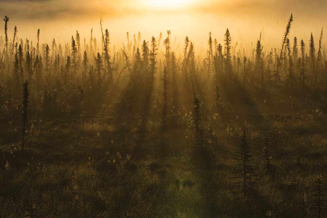
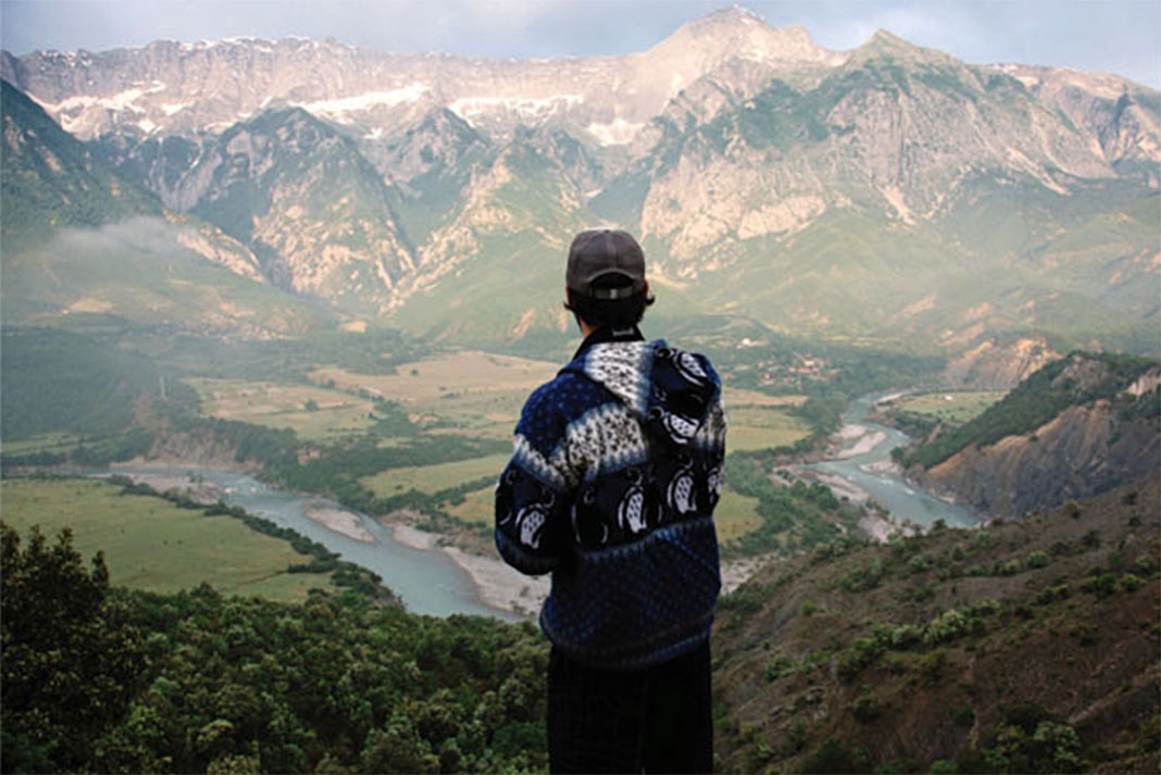
Fast forward to January 2017 and I’m at the start of a nine-week paddling adventure in Uganda, perched on the back of a motorcycle taxi nervously holding onto my kayak and paddle balanced on my lap between myself and my throttle-happy pilot. With serious whitewater, a welcoming paddling community, and a low cost of living, Uganda has been a dream kayaking destination for close to 20 years. The whitewater community here is about to experience drastic transformation as the soon-to-be-completed Isimba Dam will flood a significant section of the Victoria Nile’s famous rapids. Though excellent whitewater will remain after the Isimba Dam is operational in May 2018, the future of Uganda as a premier paddling destination for advanced paddlers remains uncertain.
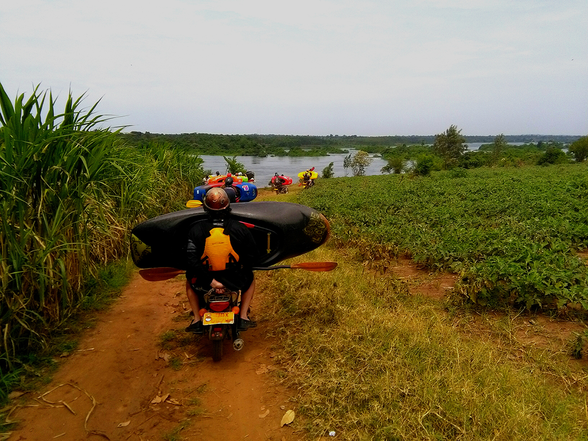
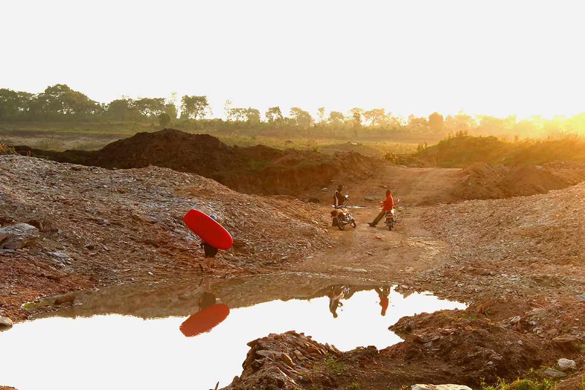
Motorcycle taxis, called boda bodas, are the most popular form of transit in Uganda.
As we speed down the network of rust-coloured dirt roads passing farms and mud-brick homes children drop whatever they are doing to run to the road and shout, “Muzungu! Muzungu! How are you?” Muzungu is the local word for someone with white skin but it’s often used to describe anyone not from East Africa. It’s not meant in a mean or malicious way and anyone with light skin gets used to hearing it. No time to answer as we fly by, I smile and quickly wave back not wanting to let go of my boat, or the bike, for too long. A little later we are weaving our way through a herd of cows being shepherded down the road. Kayakers and drivers alike are careful not to bump the animals, no one wanting to find themselves on the wrong end of their huge horns. Soon we are at the put-in and after paying for our shuttle ride we’re making our way to the water. To the Nile!
I’d been in Uganda for a few days at this point but this was going to be my first river run. Our first rapid was Babooga, a simple tongue down the left and a punch through a crashing wave. So far so good. Next, the popular play wave/hole Superhole. One paddler in the group, Jonas, points out that if Superhole was in his home country, Germany, people would drive for hours just to surf it. In Uganda though, Superhole is a great place for a “rest” day. We keep going.
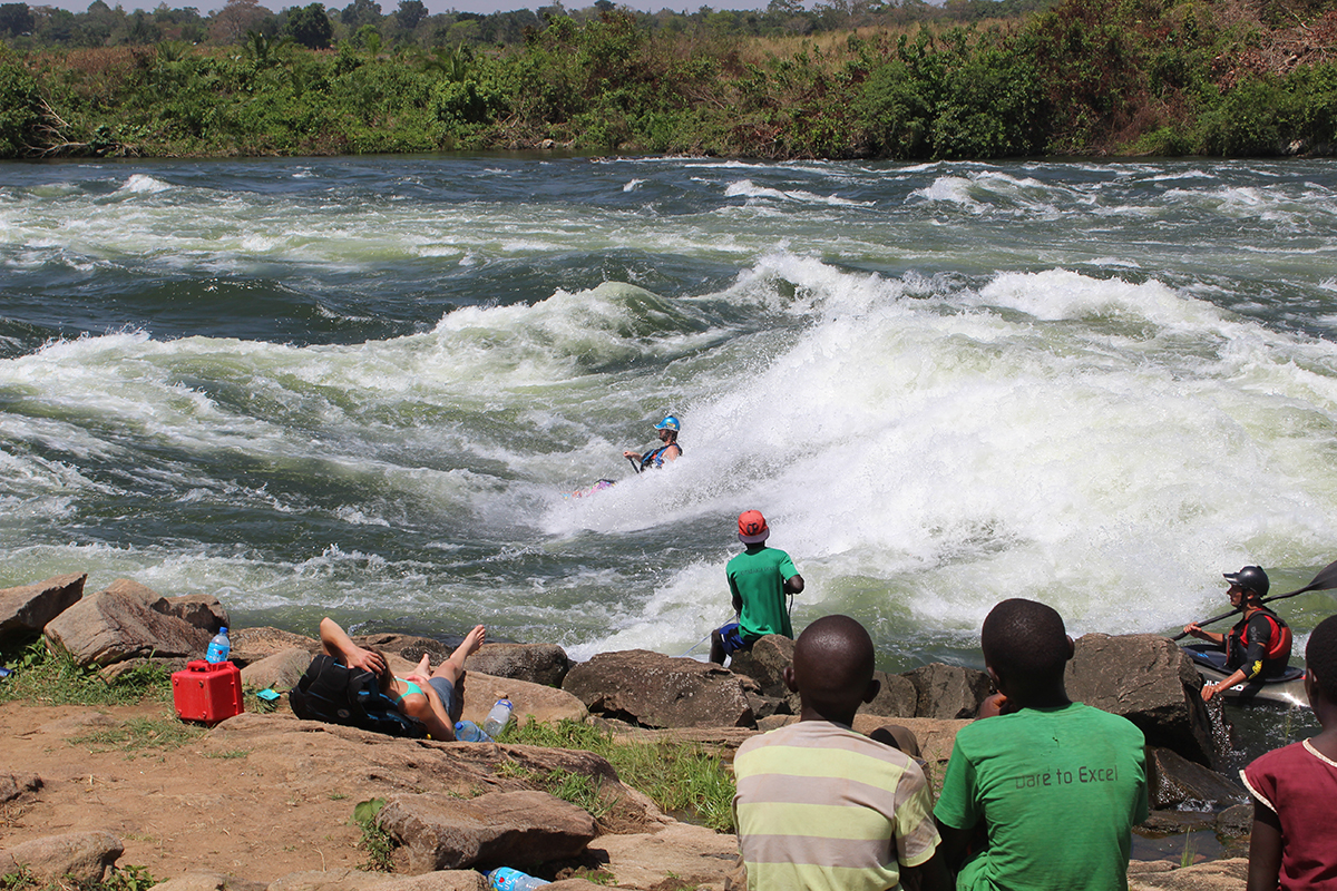
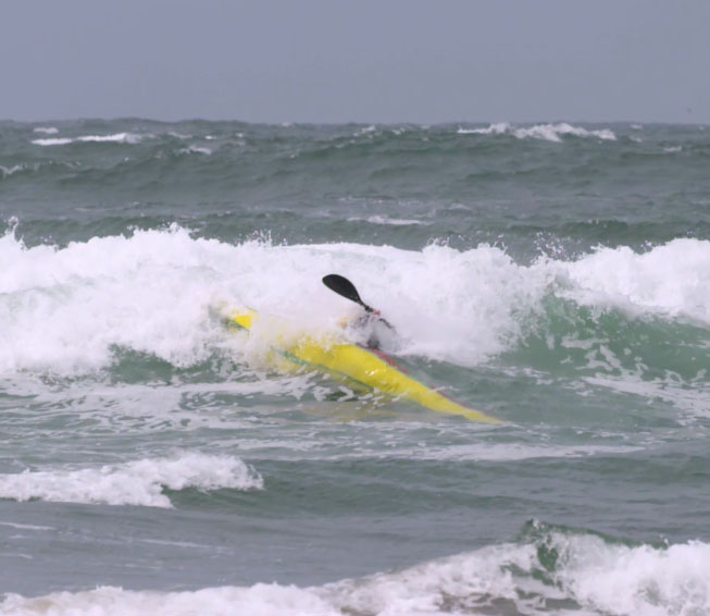
Jonas Unterberg surfs while onlookers watch
A stretch of flatwater takes us past fishermen hauling in their nets from narrow wooden canoes. Most pay us no mind; those that do smile and laugh as we greet and exchange “how are you’s?” in Lugandan, one of the prevalent local languages. Paddlers are nothing new in Uganda. Rafting has been a popular tourist activity in Uganda since the late 1990s but it wasn’t until the early 2000s that kayakers really took notice of the Nile’s potential. The growth of big-wave surfing and freestyle saw Uganda’s popularity grow as paddlers from around the world were attracted by stories of giant rapids and a raucous paddling scene.
In this section the river banks are 40 feet tall and steep, made of exposed red earth and sand. In some spots, farmers have managed to grow corn on these precipitous banks. The river is lined with reeds while thick bushes grow at the waterline. In a different time this would have been prime hippo and crocodile habitat. Thankfully, at least for paddlers, those animals do not live on this section of river anymore.
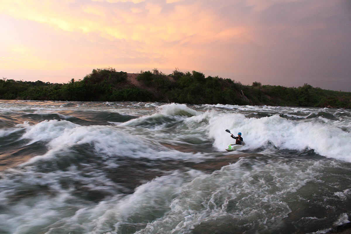
Sunset soul surfs, there’s nothing better. Paddler: Stewart Wintersgill
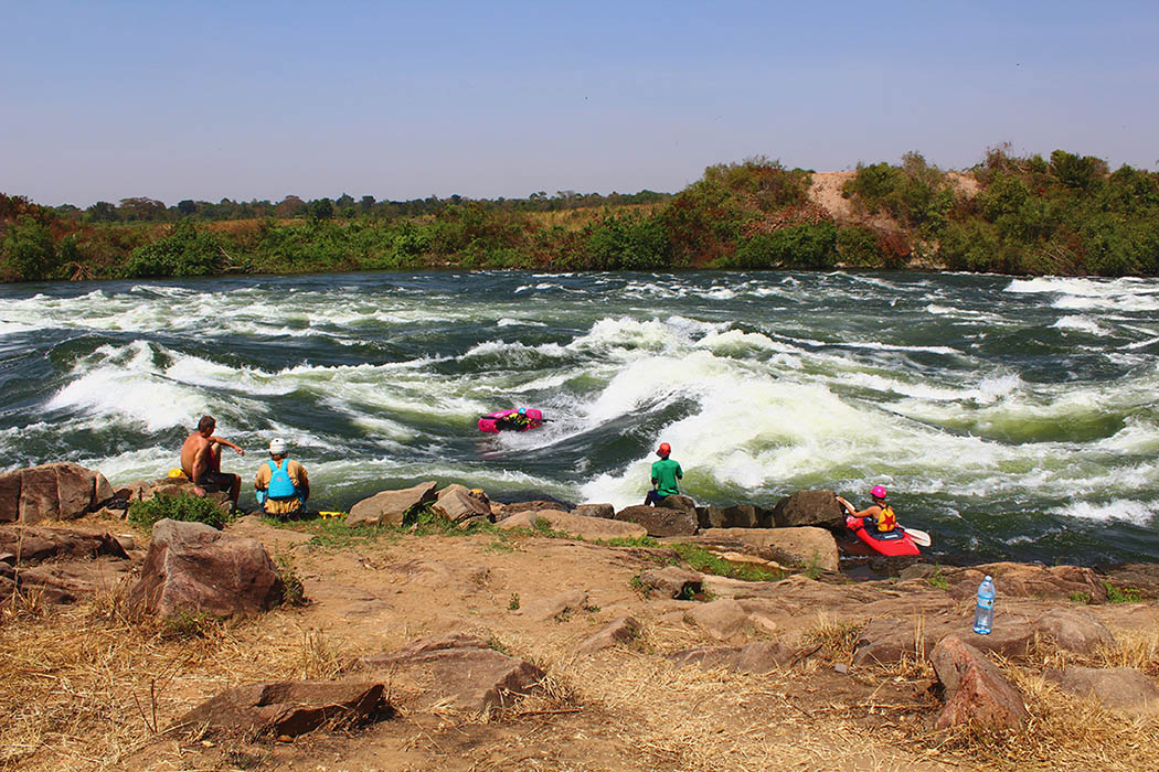
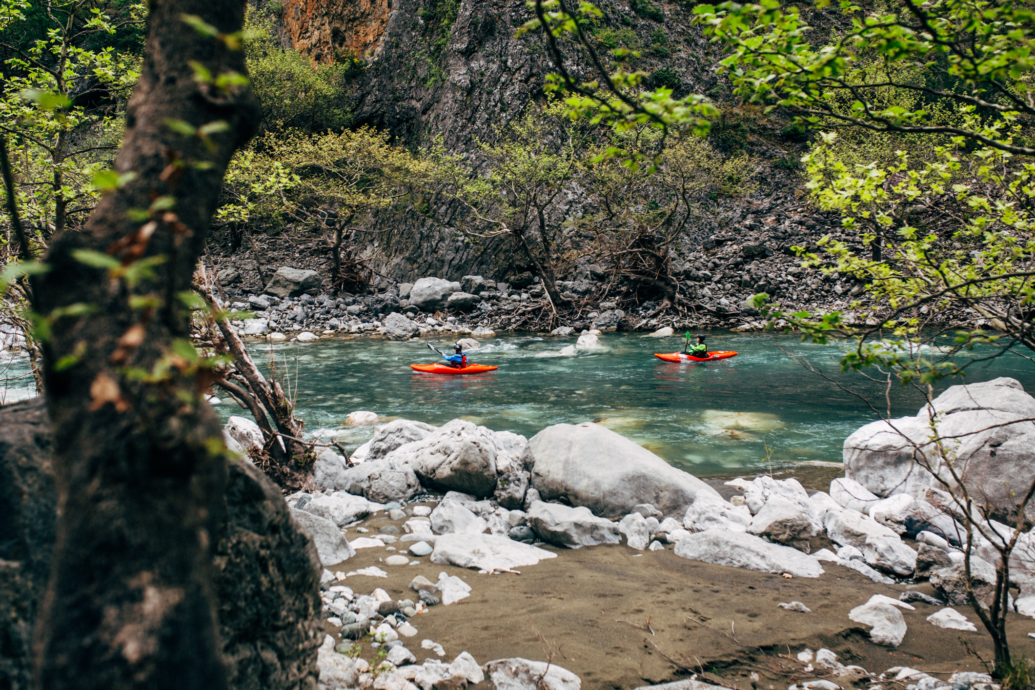
The flatwater ends with a horizon line broken up by dozens of islands each exploding with vegetation. No doubt they are crawling with snakes and other creepy crawlies. Three huge class V rapids begin here depending on which route you take. Kalagala, a small waterfall with a nasty hole, is on the left. Hypoxia, meaning ‘a lack of oxygen to the brain’, is the biggest hole I’ve ever seen and occupies the middle channel and Itanda, a massive rapid requiring paddlers to enter on the left and then ferry all the way right before scampering back to the middle, is on the right.
We choose Itanda. Today, being my first time down the river, I opt to portage and watch the line from shore. One person from our group, David, decides to run it today and we cheer from shore as he nails the line. I’m impressed. This is a big rapid. It will take me some time getting used to the challenging water of the Nile before I run Itanda. After watching David, the rest of us run the bottom half. It’s huge and I’m happy to make it through.
The stoke is high as we continue downstream but it’s at this moment that someone mentions that in a year’s time everything past this point will disappear because of the reservoir caused by the Isimba Dam. In a year’s time, everything around me will be underwater. That somber and surreal realization makes me stop and appreciate each feature just a little bit more.
Paddler: David Silk
To so many people I’ve spoken to since, it seems crazy the government would allow a dam to destroy so much much whitewater. Afterall, it was only ten years ago when, in desperate need of affordable electricity, the Ugandan government approved the construction of the Bujagali hydroelectric power station. Completed in 2013, this 250-megawatt dam halved the number of rapids on the commercially run section of the river and dealt a serious blow to the rafting and paddling community. Even worse, it displaced thousands of Ugandans, many of whom were subsistence farmers and thus dependent on their land to earn a living. In a country with skyrocketing electricity prices, consistent power shortages, and an intense urge to modernize, the need for power trumped the needs of a few thousand farmers and a growing adventure tourism industry.
Despite the loss of several world-famous rapids Uganda has continued to attract paddlers largely because of popular surf waves Nile Special and Mulalu. In truth, the Bujagali Dam was probably inevitable given Uganda’s growing need for electricity and the immense energy potential of the Nile.
One positive outcome of the Bujagali Dam was a 2007 indemnity agreement between the Ugandan government and the International Development Association—a branch of the World Bank who helped finance the Bujagali Dam. This agreement, known as the Kalagala Offset, protected the river downstream of Kalagala Falls from further hydroelectric development. It’s for this reason the announcement of the construction of the Isimba Dam came as such a shock. Having just dealt with the consequences of the Bujagali Dam, the whitewater community must once again deal with an incredible loss of premium whitewater.
 While Brooke Hess surfs, others enjoy the sunshine.
It’s a lot to think about. As a paddler, I value the free run of rivers more than most but still, the Isimba Dam appears to be a glaring disregard to the Nile’s others users. That feeling is shared by many and is validated when we hear Isimba could have been built further downstream where it would have had far less an effect on the whitewater industry.
It’s hard not to feel angry but a new horizon line appears ahead and we are forced to push non-essential thoughts from our minds. Running a rapid requires focus, it’s one of the reasons I respect rivers so much. A river, especially the Nile, demands your attention.
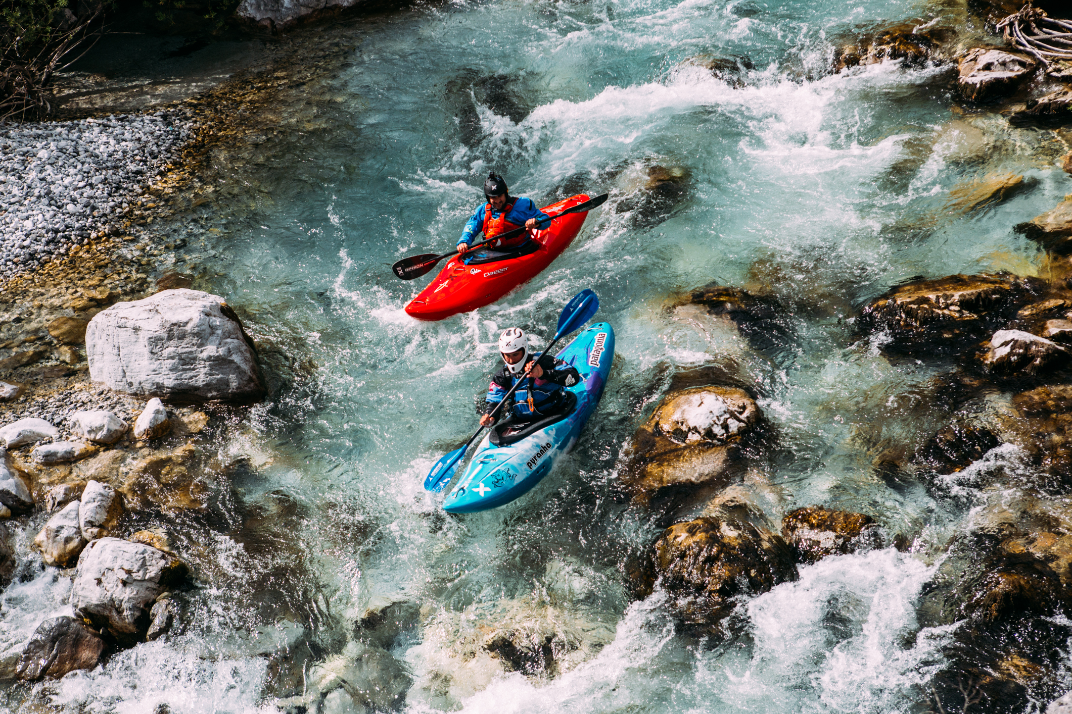
The next three rapids, Vengeance, Hair of the Dog, and Kula Shaker, are giant wave trains. Each have the same line – down the middle! As the huge waves lift you up you catch a brief look of the rapid in front of you and can adjust your line. However, just as fast as the waves lift you up, they pull you down into their troughs and, once again your entire field of view is occupied by the next hulking wall of water. More than once a wave crashes just as I reach the peak and I’m easily picked up and hurled backwards into the trough. Thankfully, hitting rocks is not a concern on the Nile and you may take your time to roll.
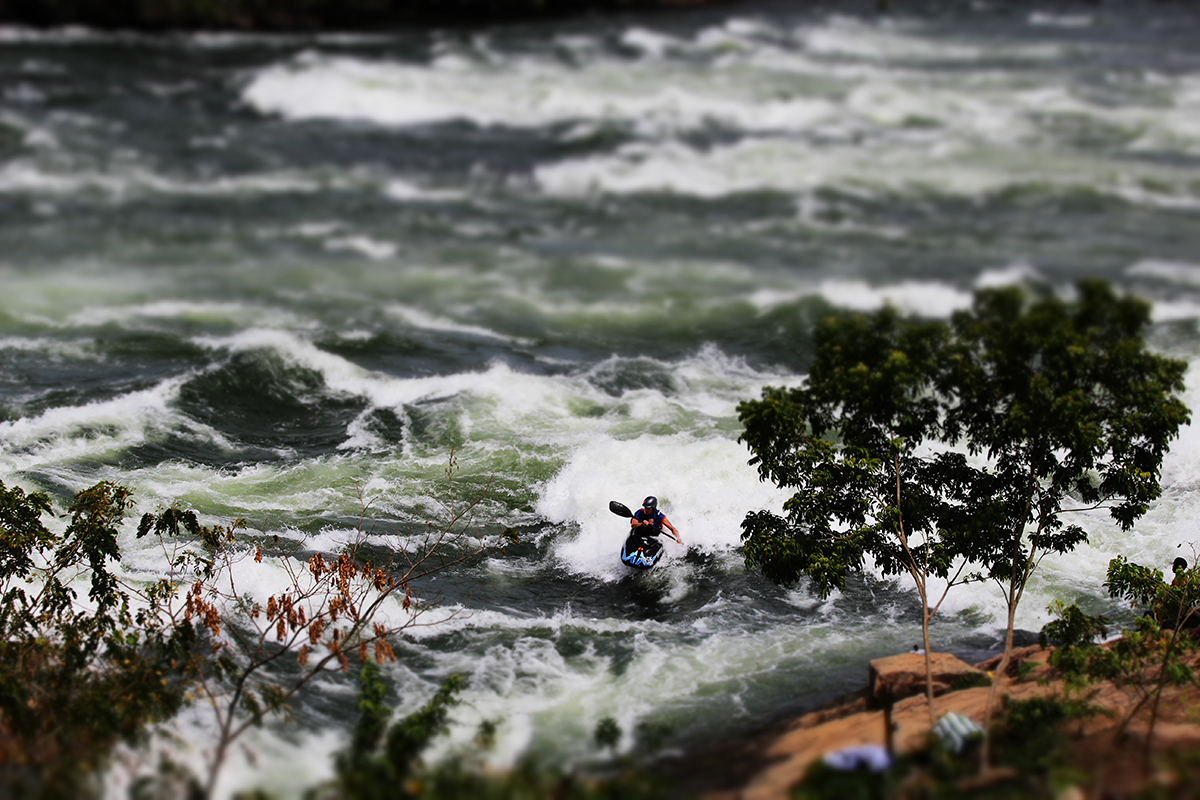
After a bit more flatwater we arrive at the final rapid of the day, Nile Special. Named after Uganda’s popular strong beer Nile Special is an epic wave train and home to an equally epic surf wave of the same name. World famous for being big, fast, and bouncy it’s easily the most popular kayaking spot on the river. Add the fact that it has eddy-service and the water is a balmy 25 degrees and it’s easy to understand its popularity. The rapid is a playboaters’ paradise. Depending on the water level, many of the waves on this rapid are surfable and, of course, all named after beer.
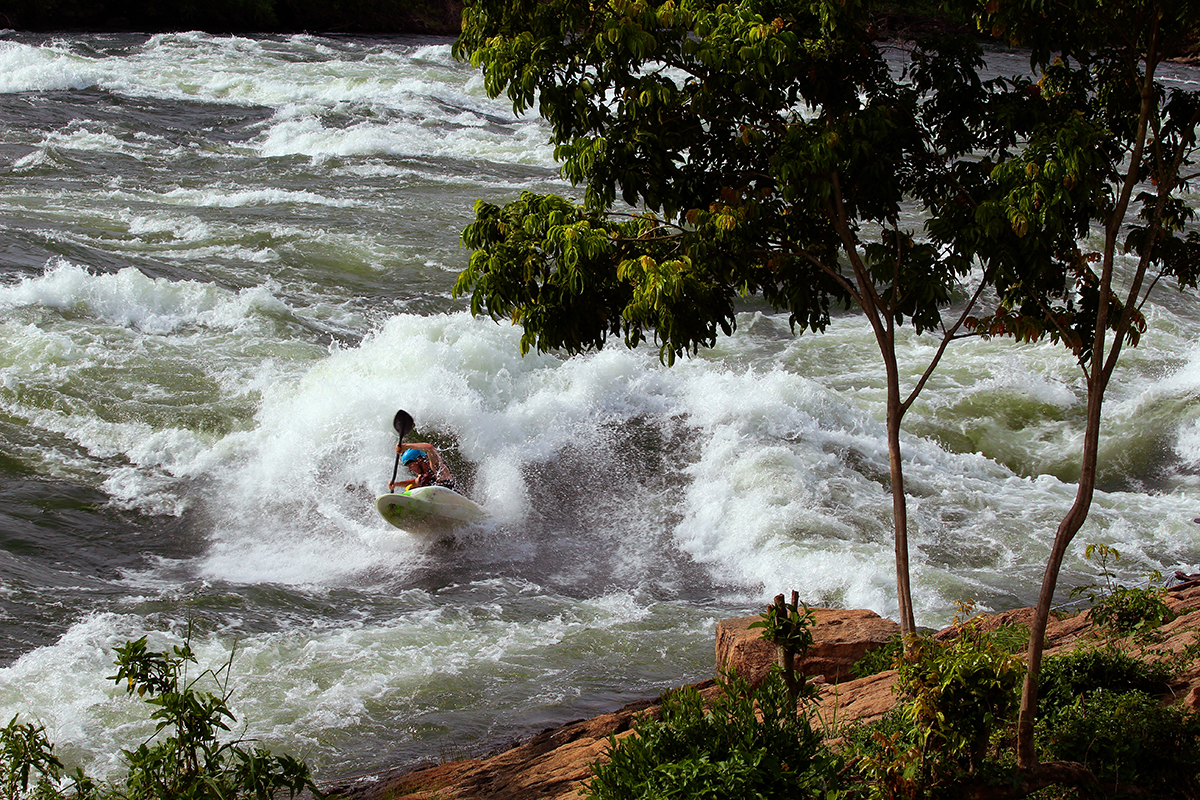 Big, fast, and bouncy, Nile Special is by far the most popular play spot on the river. Many paddlers consider it to be one of the greatest waves in the entire world. One of the reasons for that belief is you can surf it without any need for drytops or neoprene 365 days a year. In this photo Stewart Wintersgill works on his freestyle.
Water levels on the Nile fluctuate depending on electricity demand. Typically, levels are low in the morning and they reach their peak in the evening. Because of this, playboaters can stay at Nile Special rapid all day and surf different waves as the water rises. It’s so good many kayakers never even bother to run the river or surf different waves.
Having finished our run of the river we make our way back to our Ugandan home, the Hairy Lemon Island which is amazingly located just a 10 minute paddle away from Nile Special. Owned by Paul and Nicci, a Tanzanian and South African couple, the Lemon is a kayakers paradise. The Lemon is made up of three main islands and the water is pumped by water wheel while any electricity is generated by solar panels. Generally most kayakers choose to camp though dormitories are an option as well. When you’re not paddling there’s slackline, plenty of hammocks to chill out in, volleyball, and lots of wildlife to watch. I spent more than a few evenings watching the acrobatics of the red-tail monkeys as they leapt from branch to branch in the canopy above. Also calling the Lemon home are plenty of birds such as the colourful Malachite and Woodland Kingfishers. Interestingly, the Hairy Lemon is also home to a few pangolins which are incredibly rare and have the dubious distinction of being the most trafficked mammal in the world.
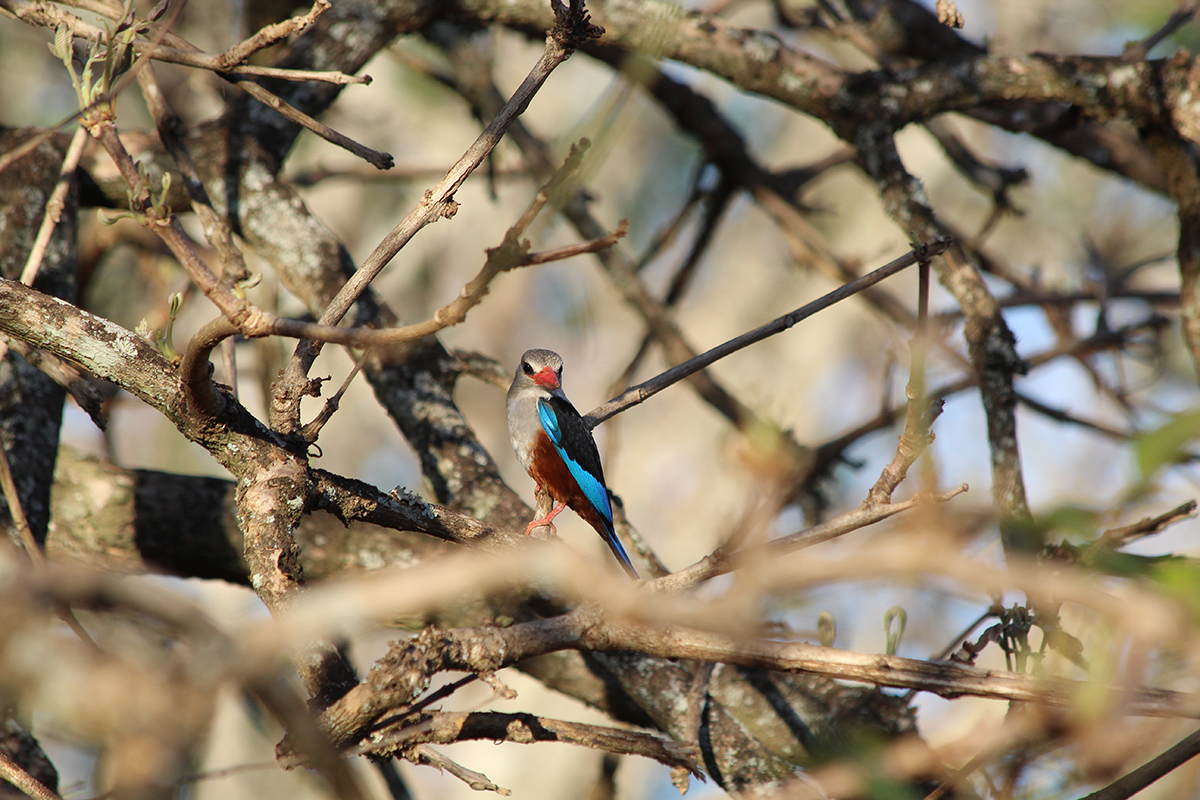
A grey headed kingfisher, one of the hundreds of types of birds that call the area around the Nile River home.
Kayaking all day is tiring work, luckily the Lemon has two fantastic chefs Milli and Charles who prepare delicious meals for those who choose to not cook for themselves. Breakfasts typically consist of fruit, eggs, and fresh baked bread. Lunch is generally vegetarian but always satisfying. Dinner on the Lemon consists of soup and fresh bread followed by a hearty main such as curry, roast pork, or potato lasagna. In the evenings most kayakers can be found socializing around the Lemon bar, often operated by a paddler trading their labour for a few extra days of accommodation. It’s at this time when the day’s stories of epic surfs and long swims are shared over cold beers. Beware though, a swim will result in a beer funnel while doing something for the first time on the Nile will earn you a Bujagali sunset, a particularly complicated shot involving Sambuca, fire, and your nipples.
The loss of the Hairy Lemon to the Isimba reservoir is a sore spot for all paddlers and it’s devastating to Paul, Nicci, and all the staff on the island. For many of the Lemon staff, the loss of the island is a lot more than a loss of a kayaking destination, it’s a loss of livelihood. Some staff, Charles included, hope to find similar employment opportunities at the area’s other tourist-oriented hotels and restaurants while others have decided they will search for jobs closer to home. One of the staff in charge of the Hairy Lemon farm, Ojambo, has decided he will return to his home to be a fisherman on Lake Victoria. Because he cannot swim, Ojambo traded with a kayaker for a life-jacket for when he’s out fishing on the world’s second largest lake.
Though many are frustrated and disappointed with the government’s decision to allow the construction of the Isimba Dam, there remains a sense of optimism within the whitewater community.
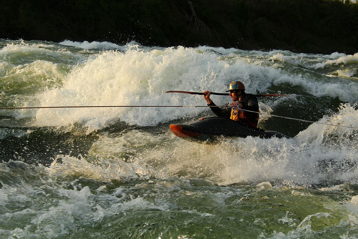
During a sunset session Ottawa Valley paddler Brendan Kraiker uses the rope to tow on to Nile Special.
“The impacts on the rafting is going to be tremendous… The reality is we’re going to be reduced to a smaller section of rafting and with that, we would produce half day rafting, complimented by additional activities” says Marc Myers, development manager of Adrift Rafting, Uganda’s longest running rafting company. However, “there’s a lot of potential for additional activities both above and below Itanda Falls.” Adrift is planning to diversify and expand the range of experiences they offer. This includes becoming more than just a rafting company and offering people the chance to connect with the Nile on a deeper level through improved participatory experiences including; nature and cultural based interpretation, wildlife experiences, canopy tours on the islands and additional land and river based activities. Eventually, Myers would like to see other sections of the Nile open up to rafting-based adventures. “We see the future as being bright, but we’ll have to be more dynamic.”
Similarly, Kayak the Nile, Uganda’s premiere kayak school run by former Great Britain team member Sam Ward, remain positive about the future of paddling in Uganda. “It’ll still be a world class place to learn to kayak and even for intermediates it will be great for improving, but it’s not going to be as big a draw as it was for big wave surfing for top level freestylers,” says Ward. Few people know the Nile as well as Ward so when he says there will be enough features to warrant a visit, I believe him. “There are a good number of holes that most people don’t even know exist, and a few waves that are quite good”. He also notes that there is excellent creeking in neighbouring Kenya and eastern Uganda that is still relatively unexplored.
No doubt difficult times are ahead for those who depend on the Nile River for their livelihoods and recreation. Thankfully, the Nile is a world-class river and Uganda an increasingly popular tourist destination. While fewer expert paddlers may choose to visit Uganda, the Nile will always be an attractive place to learn about kayaking and the fundamentals of whitewater. Who knows, once a river reserved in kayaker’s minds for experts only, the Nile may soon be thought of as an excellent place to take your first paddle strokes.
So, what does this all mean for paddlers?
The completion of the Isimba Dam will likely mean the end of Uganda as a whitewater kayaking destination for expert-level kayakers. Rising water will submerge at least three of the four fantastically huge wave-train rapids—Hair of the Dog, Kula Shaker, and Nile Special—that make up the most continuous, and popular, section of whitewater left on the Victoria Nile. The fate of the rapid Vengeance remains to be seen. From a freestyle kayaking perspective, the greatest loss may be the end of the Nile Special surf wave.
 Just past the popular play-wave Mulalu is the quarry for the currently-under-construction Isimba Dam. As you walk through the quarry to catch a boda boda you can’t help but be reminded of the immense change this region is about to experience. In one year’s time a massive reservoir will submerge many of the Nile’s popular rapids and playspots and have drastic effects on the lives of those who live around the Victoria Nile.
So, if you are a playboater or someone who wants to push their big-water river running abilities, my advice would be to go sooner rather than later. The reservoir for the Isimba Dam is expected to be full by May 2018 so you have until then to enjoy the rapids that will disappear. For us in North America, it’s a big trip and an expensive flight but I guarantee it’s well worth it. There’s just something so amazing about paddling enormous whitewater, in beautiful sunshine on a warm and safe river.
In case you needed another reason to go 2017 will be the Nile River Festival’s final year in its current format (NRF will continue on in an adjusted format after Isimba). Highlights of this year’s NRF included epic carnage on the Itanda Falls head-to-head race, massive freestyle combos on Nile Special, and some truly questionable behaviour during a late evening jello wrestling tournament (don’t ask).
With that said, all I can say is go. Go and see one of the world’s most extraordinary whitewater playgrounds before it’s changed forever. I guarantee you won’t regret it.

 This article was first published in the Spring 2017 issue of Canoeroots Magazine.


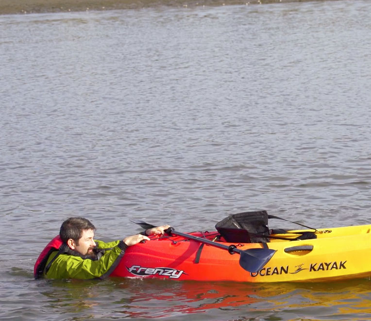
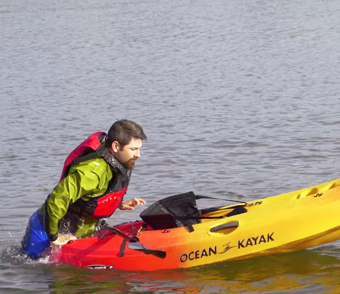
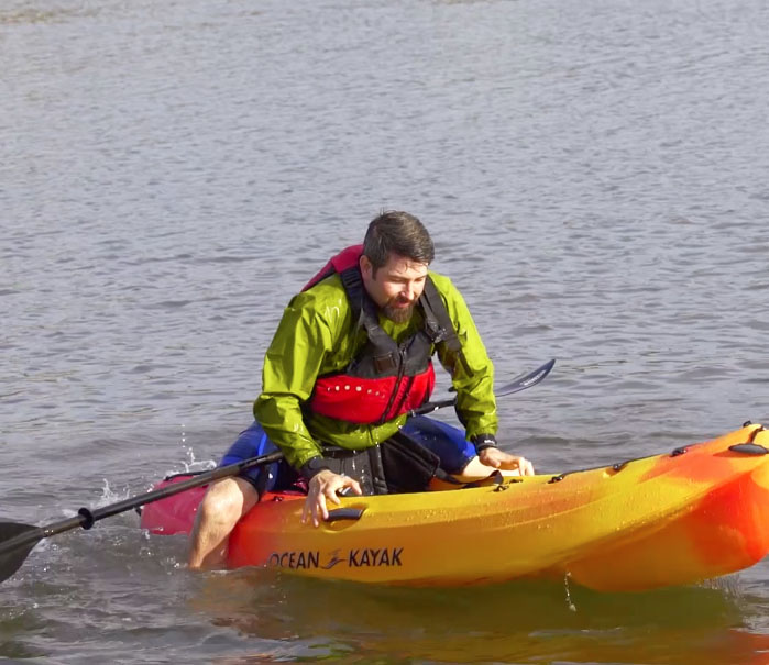
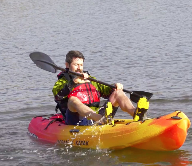


 The crew’s quick response saved Bare, who recovered from his hypothermia. Had the crew not been so close, he could have become part of the growing statistic of paddlecraft-related deaths.


