He’s a local treasure, mapping a labyrinth of canoe routes that crisscross Manitoba, and inspiring countless paddlers to discover the wilderness via river byways. Many consider Réal Bérard’s hand-drawn maps to be works of art. Not intended as navigational charts, each is annotated with Bérard’s illustrations, old trapper songs, botanical notes, recipes, historic anecdotes, biographies, as well as markings for every waterfall, rapid and portage—measured out in paces like the Voyageurs—along Manitoba’s rivers.
Réal Bérard: The man who’s been mapping Manitoba’s canoe routes since 1962
“When I first put my hands on one of his maps, I was transported to the rivers,” says Jonathan Berger of Philadelphia, author of the extraordinary Canoe Atlas of the Little North. “His drawings give me my aesthetic lens through which I view the North.”
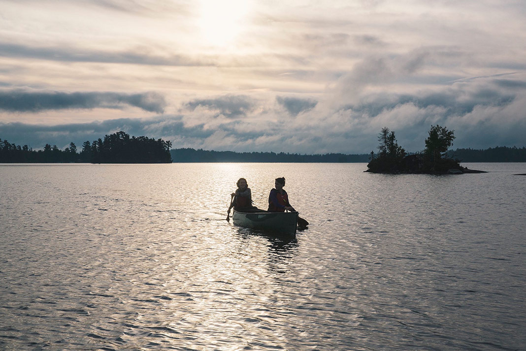
Bérard got his route mapping start when he snared a summer job with Manitoba’s Department of Natural Resources in 1962. That season his supervisor sent him and two others on a 500-kilometer canoe trip.
[ Paddling Trip Guide: View all paddling adventures in Manitoba ]
From notes and sketches to full-fledged maps
It was a dry summer and the canoeists were ostensibly to help extinguish any forest fires they came upon. The trip took a month, ending at the mouth of Berens River at Lake Winnipeg. They never saw a single forest fire.
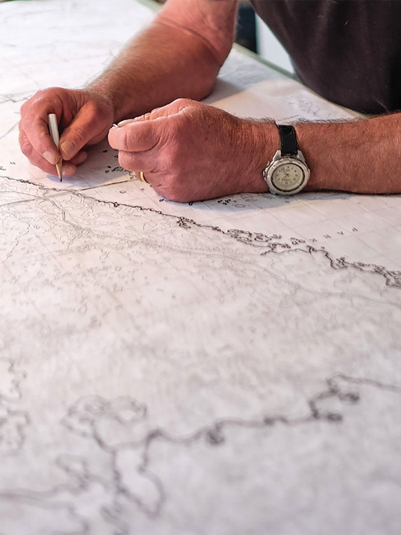
In those days, conservation staff was required to keep daily logs, which Bérard dutifully did. A few years later, with Bérard now a full-time employee, the supervisor asked him to make a canoe route map from his notes and drawings, as a way of encouraging people to experience Manitoba’s wilderness.
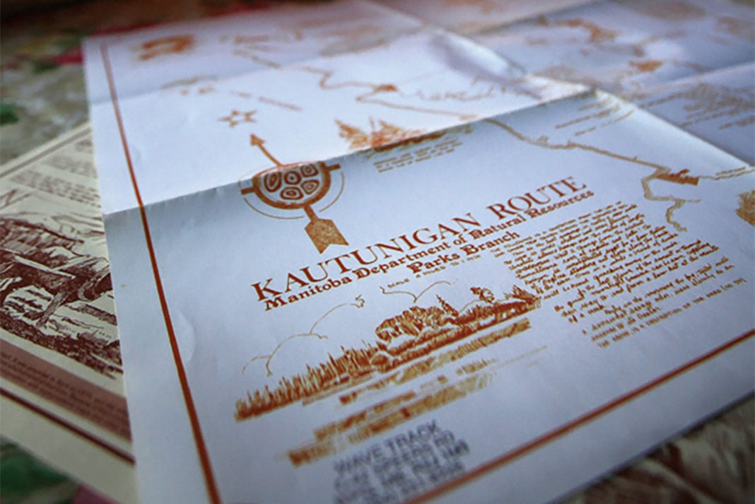

Bérard made his first map, and filled in the margins with local lore and history. He continued mapping waterways for the province for the next 20 years, producing 13 maps to date. They include dominant rivers like the Assiniboine and Winnipeg, and well-known canoeing routes like the Bird and Manigotagan rivers. Most have a central theme specific to that area, exploring native culture or the fur trade for example.
Pencil—and paddle—still in hand
A full-time artist since 1990, Bérard’s other artistic endeavors include being an award-winning ice sculptor. He has also been the political cartoonist for 30 years at La Liberté, a weekly Francophone newspaper in Manitoba.
And he still canoes. Last year, Bérard, 79, and a friend, an 82-year-old trapper, paddled for a week on a loop that starts on the Nelson River in Northern Manitoba. He is currently making a map of the little-known route, which is an easy trip, accessible by road and without rapids.
“When I first put my hands on one of his maps, I was transported to the rivers.”
When asked if he isn’t a little old to be making such treks, he responded in his characteristically unconventional way: “I’d rather be eaten by wolves and ravens, than by maggots.”
Order Réal Bérard’s maps from Paddle Manitoba.
 This article was first published in the Fall 2015 issue of Canoeroots Magazine.
 Feature photo: Mike Deal/Winnipeg Free Press


